San Giacomo-Marinella geodata
San Giacomo-Marinella (Calabria) is a populated place; located in Italy in Europe/Rome (GMT+2) time zone. With population of 604 people, there are 8960 cities with bigger population in this country. Compared to other cities in Italy, 90% of cities are located further ↑North; 97.6% of cities are located further ←West and 95.9% of cities have higher elevation than San Giacomo-Marinella. Note1
Current local time in San Giacomo-Marinella:
08:02 PM, WednesdayDifference from your time zone: hours


San Giacomo-Marinella GPS coordinates[2]
39° 34' 25.032" North, 16° 49' 18.696" East
| Map corner | latitude | longitude |
|---|---|---|
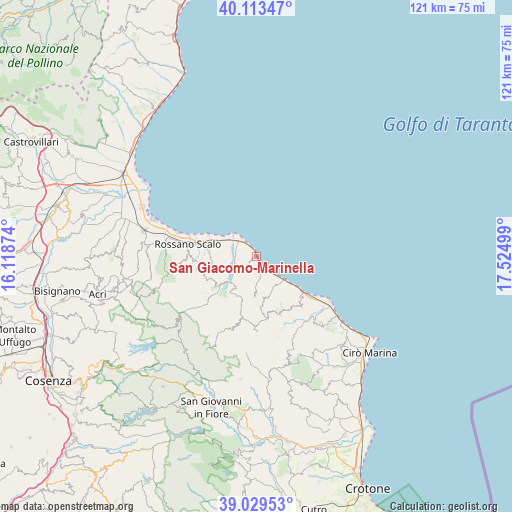
| Upper-left | 40.11347°, | 16.11874° |
| Center: | 39.57362°, | 16.82186° |
| Lower-right: | 39.02953°, | 17.52499° |
| Map W x H: | 120.5×120.5 km | = 74.9×74.9mi |
| max Lat: | 47.04031° ⇑90% North |
| San Giacomo-Marinella: | 39.57362° |
| min Lat: | ⇓10% South 35.50142° |
| min Long | San Giacomo-Mar | max Long |
| 6.69888° | 16.82186° | 18.48682° |
| W 97.6%⇐ | ⇒2.4% E |
Elevation
Elevation of San Giacomo-Marinella is 7 m = 23 ft, and this is 299.7 m = 983 ft below average elevation for this country.
| Max E: |
2085 m = 6841 ft | 95.9% |
| Avg. | 306.7 m = 1006 ft | |
| San Giacomo-Marinella | 7 m = 23 ft | |
Min E: |
-4 m = -13 ft | 4.1% |
See also: Italy elevation on elevation.city.
Geographical zone
San Giacomo-Marinella is located in North temperate zone (between Tropic of Cancer and the Arctic Circle). Distance of this Northern Tropic circle is 1794.3 km =1114.9 mi to South.| Distance of | km | miles | from San Giacomo-Marinella |
|---|---|---|---|
| North Pole | 5606.9 | 3484 | to North |
| Arctic Circle | 3001 | 1864.7 | to North |
| Tropic Cancer | 1794.3 | 1114.9 | to South |
| Equator | 4400.2 | 2734.2 | to South |


Nearby cities:
15 places around San Giacomo-Marinella: (largest is in red/bold)
• Amica
13.6 km =8.5 mi,  282°
282°
• Caloppezzati
2.2 km =1.4 mi,  231°
231°
• Caloveto
9.1 km =5.7 mi,  215°
215°
• Camigliano
4 km =2.5 mi,  140°
140°
• Cariati
14.3 km =8.9 mi,  127°
127°
• Cropalati
10.3 km =6.4 mi, 232°
• Crosia
4.4 km =2.7 mi,  262°
262°
• Destro
14.4 km =8.9 mi, 229°
• Mandatoriccio
11.9 km =7.4 mi,  174°
174°
• Mirto
5.1 km =3.2 mi,  306°
306°
• Paludi
13.1 km =8.1 mi,  248°
248°
• Pietrapaola
9.6 km =6 mi,  183°
183°
• Rossano
16.1 km =10 mi,  271°
271°
• Scala Coeli
15 km =9.3 mi,  158°
158°
• Terravecchia
16 km =9.9 mi, 138°
Sources, notices
• [Note1] Compared only with cities in Italy existing in our database
• [Src1] Map data: © OpenStreetMap contributors (CC-BY-SA)
• [Src2] Other city data from geonames.org with taken over terms of usage.
• [Src3] Geographical zone / Annual Mean Temperature by Robert A. Rohde @ Wikipedia
