Lovoleto geodata
Lovoleto (Emilia-Romagna) is a populated place; located in Italy in Europe/Rome (GMT+2) time zone. With population of 538 people, there are 9563 cities with bigger population in this country. Compared to other cities in Italy, 52.3% of cities are located further ↓South; 51.6% of cities are located further →East and 88.3% of cities have higher elevation than Lovoleto. Note1


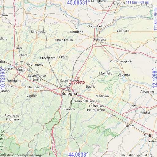
Lovoleto GPS coordinates[2]
44° 35' 12.156" North, 11° 25' 36.372" East
| Map corner | latitude | longitude |
|---|---|---|
| Upper-left | 45.08531°, | 10.72365° |
| Center: | 44.58671°, | 11.42677° |
| Lower-right: | 44.0838°, | 12.1299° |
| Map W x H: | 111.4×111.4 km | = 69.2×69.2mi |
| max Lat: | 47.04031° ⇑47.7% North |
| Lovoleto: | 44.58671° |
| min Lat: | ⇓52.3% South 35.50142° |
| min Long | Lovoleto | max Long |
| 6.69888° | 11.42677° | 18.48682° |
| W 48.4%⇐ | ⇒51.6% E |
Elevation
Elevation of Lovoleto is 22 m = 72 ft, and this is 284.7 m = 934 ft below average elevation for this country.
| Max E: |
2085 m = 6841 ft | 88.3% |
| Avg. | 306.7 m = 1006 ft | |
| Lovoleto | 22 m = 72 ft | |
Min E: |
-4 m = -13 ft | 11.7% |
See also: Italy elevation on elevation.city.
Geographical zone
Lovoleto is located in North temperate zone (between Tropic of Cancer and the Arctic Circle). Distance of this Northern Tropic circle is 2351.7 km =1461.3 mi to South.| Distance of | km | miles | from Lovoleto |
|---|---|---|---|
| North Pole | 5049.5 | 3137.6 | to North |
| Arctic Circle | 2443.6 | 1518.4 | to North |
| Tropic Cancer | 2351.7 | 1461.3 | to South |
| Equator | 4957.6 | 3080.5 | to South |


Nearby cities:
15 places around Lovoleto: (largest is in red/bold)
• Bentivoglio
5.6 km =3.5 mi,  352°
352°
• Cadriano
4.8 km =3 mi,  211°
211°
• Castagnolo Minore
4.3 km =2.7 mi,  302°
302°
• Castel Maggiore
5.3 km =3.3 mi,  258°
258°
• Castenaso
8.7 km =5.4 mi,  157°
157°
• Cà Dè Fabbri
4.3 km =2.7 mi,  31°
31°
• Granarolo dell'Emilia e Viadagola
3.9 km =2.4 mi, 161°
• Minerbio
5 km =3.1 mi,  46°
46°
• Progresso
5.3 km =3.3 mi,  248°
248°
• Quarto Inferiore
6.3 km =3.9 mi,  187°
187°
• San Giorgio di Piano
7.9 km =4.9 mi,  328°
328°
• San Marino
2 km =1.2 mi, 348°
• Santa Maria in Duno
5.2 km =3.2 mi, 334°
• Stiatico
6.3 km =3.9 mi, 304°
• Villa Salina
6.9 km =4.3 mi,  238°
238°
Sources, notices
• [Note1] Compared only with cities in Italy existing in our database
• [Src1] Map data: © OpenStreetMap contributors (CC-BY-SA)
• [Src2] Other city data from geonames.org with taken over terms of usage.
• [Src3] Geographical zone / Annual Mean Temperature by Robert A. Rohde @ Wikipedia
