Takaishi geodata
Takaishi (Ōsaka) is a seat of a second-order administrative division; located in Japan in Asia/Tokyo (GMT+9) time zone. With population of 60,511 people, there are 322 cities with bigger population in this country. Compared to other cities in Japan, 72.1% of cities are located further ↑North; 67.3% of cities are located further →East and 81.8% of cities have higher elevation than Takaishi. Note1


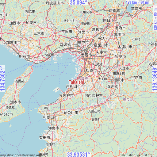
Takaishi GPS coordinates[2]
34° 31' 0.012" North, 135° 25' 59.988" East
| Map corner | latitude | longitude |
|---|---|---|
| Upper-left | 35.094°, | 134.73021° |
| Center: | 34.51667°, | 135.43333° |
| Lower-right: | 33.93531°, | 136.13646° |
| Map W x H: | 128.8×128.8 km | = 80×80mi |
| max Lat: | 45.40944° ⇑72.1% North |
| Takaishi: | 34.51667° |
| min Lat: | ⇓27.9% South 24.34478° |
| min Long | Takaishi | max Long |
| 123° | 135.43333° | 145.575° |
| W 32.7%⇐ | ⇒67.3% E |
Elevation
Elevation of Takaishi is 7 m = 23 ft, and this is 77.6 m = 255 ft below average elevation for this country.
| Max E: |
1086 m = 3563 ft | 81.8% |
| Avg. | 84.6 m = 278 ft | |
| Takaishi | 7 m = 23 ft | |
Min E: |
-2 m = -7 ft | 18.2% |
See also: Takaishi elevation on elevation.city.
Geographical zone
Takaishi is located in North temperate zone (between Tropic of Cancer and the Arctic Circle). Distance of this Northern Tropic circle is 1232 km =765.5 mi to South.| Distance of | km | miles | from Takaishi |
|---|---|---|---|
| North Pole | 6169.2 | 3833.4 | to North |
| Arctic Circle | 3563.3 | 2214.1 | to North |
| Tropic Cancer | 1232 | 765.5 | to South |
| Equator | 3837.9 | 2384.8 | to South |


Nearby cities:
15 places around Takaishi: (largest is in red/bold)
• Fujiidera
16.1 km =10 mi,  69°
69°
• Habikino
15 km =9.3 mi, 74°
• Izumi
3.7 km =2.3 mi,  180°
180°
• Izumisano
15.4 km =9.6 mi,  223°
223°
• Izumisano
18.5 km =11.5 mi,  214°
214°
• Izumiōtsu
3.6 km =2.2 mi,  238°
238°
• Kaizuka
10.6 km =6.6 mi,  225°
225°
• Kashihara
18.4 km =11.4 mi, 66°
• Kawachi-Nagano
16.1 km =10 mi,  121°
121°
• Kishiwada
8.3 km =5.2 mi, 227°
• Matsubara
12 km =7.5 mi,  62°
62°
• Sakai
8 km =5 mi,  22°
22°
• Tondabayashichō
15.6 km =9.7 mi,  96°
96°
• Yao
18.9 km =11.7 mi,  53°
53°
• Ōsaka-sayama
11 km =6.8 mi, 102°
Sources, notices
• [Note1] Compared only with cities in Japan existing in our database
• [Src1] Map data: © OpenStreetMap contributors (CC-BY-SA)
• [Src2] Other city data from geonames.org with taken over terms of usage.
• [Src3] Geographical zone / Annual Mean Temperature by Robert A. Rohde @ Wikipedia
