Nirasaki geodata
Nirasaki (Yamanashi) is a seat of a second-order administrative division; located in Japan in Asia/Tokyo (GMT+9) time zone. With population of 33,263 people, there are 512 cities with bigger population in this country. Compared to other cities in Japan, 58% of cities are located further ↓South; 56.3% of cities are located further ←West and 94.6% of cities have lower elevation than Nirasaki. Note1


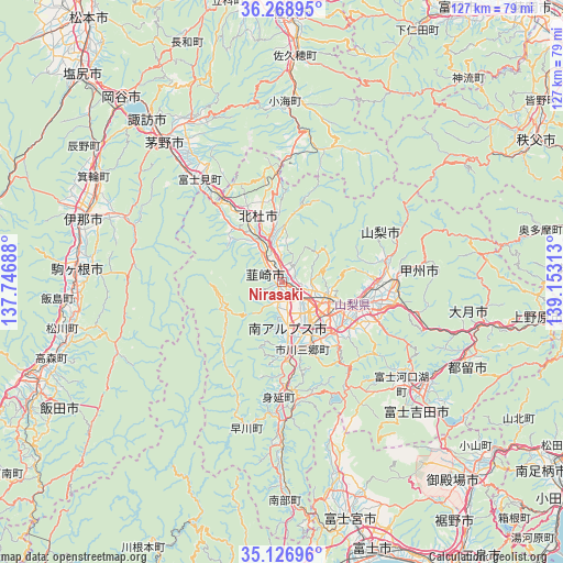
Nirasaki GPS coordinates[2]
35° 42' 0" North, 138° 27' 0" East
| Map corner | latitude | longitude |
|---|---|---|
| Upper-left | 36.26895°, | 137.74688° |
| Center: | 35.7°, | 138.45° |
| Lower-right: | 35.12696°, | 139.15313° |
| Map W x H: | 127×127 km | = 78.9×78.9mi |
| max Lat: | 45.40944° ⇑42% North |
| Nirasaki: | 35.7° |
| min Lat: | ⇓58% South 24.34478° |
| min Long | Nirasaki | max Long |
| 123° | 138.45° | 145.575° |
| W 56.3%⇐ | ⇒43.7% E |
Elevation
Elevation of Nirasaki is 349 m = 1145 ft, and this is 264.4 m = 867 ft above average elevation for this country.
| Max E: |
1086 m = 3563 ft | 5.4% |
| Nirasaki | 349 m 1145 ft | |
| Avg. | 84.6 m = 278 ft | |
Min E: |
-2 m = -7 ft | 94.6% |
See also: Japan elevation on elevation.city.
Geographical zone
Nirasaki is located in North temperate zone (between Tropic of Cancer and the Arctic Circle). Distance of this Northern Tropic circle is 1363.5 km =847.2 mi to South.| Distance of | km | miles | from Nirasaki |
|---|---|---|---|
| North Pole | 6037.6 | 3751.6 | to North |
| Arctic Circle | 3431.7 | 2132.4 | to North |
| Tropic Cancer | 1363.5 | 847.2 | to South |
| Equator | 3969.5 | 2466.5 | to South |


Nearby cities:
15 places around Nirasaki: (largest is in red/bold)
• Chino
42.2 km =26.2 mi,  320°
320°
• Chūō
12.6 km =7.8 mi,  157°
157°
• Enzan
25.6 km =15.9 mi,  90°
90°
• Fuefuki
18.5 km =11.5 mi,  112°
112°
• Fuji-yoshida
40.5 km =25.2 mi,  126°
126°
• Fujikawaguchiko
31.8 km =19.8 mi,  137°
137°
• Hokuto
15.7 km =9.8 mi,  341°
341°
• Isawa
17.5 km =10.9 mi, 108°
• Kai
5.7 km =3.5 mi, 107°
• Kofu
12.5 km =7.8 mi, 91°
• Kōfu
11.2 km =7 mi, 109°
• Kōshū
29.1 km =18.1 mi,  84°
84°
• Minami-Alps
9.4 km =5.8 mi,  172°
172°
• Ryūō
7.2 km =4.5 mi, 140°
• Yamanashi
22.6 km =14 mi,  98°
98°
Sources, notices
• [Note1] Compared only with cities in Japan existing in our database
• [Src1] Map data: © OpenStreetMap contributors (CC-BY-SA)
• [Src2] Other city data from geonames.org with taken over terms of usage.
• [Src3] Geographical zone / Annual Mean Temperature by Robert A. Rohde @ Wikipedia
