Fuefuki geodata
Fuefuki (Yamanashi) is a seat of a second-order administrative division; located in Japan in Asia/Tokyo (GMT+9) time zone. In our database, there are 767 cities with bigger population. Compared to other cities in Japan, 55.9% of cities are located further ↓South; 57.3% of cities are located further ←West and 92.1% of cities have lower elevation than Fuefuki. Note1


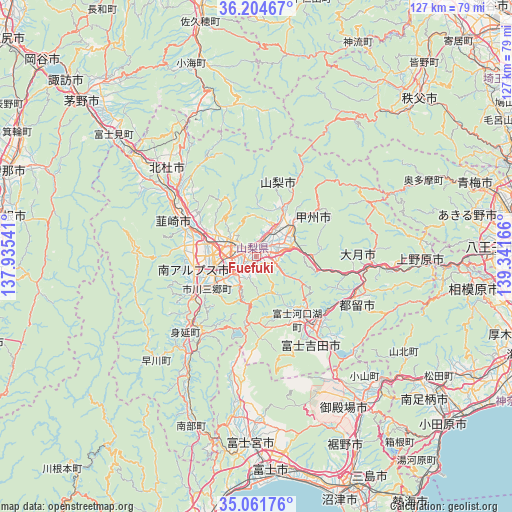
Fuefuki GPS coordinates[2]
35° 38' 6.936" North, 138° 38' 18.708" East
| Map corner | latitude | longitude |
|---|---|---|
| Upper-left | 36.20467°, | 137.93541° |
| Center: | 35.63526°, | 138.63853° |
| Lower-right: | 35.06176°, | 139.34166° |
| Map W x H: | 127.1×127.1 km | = 79×79mi |
| max Lat: | 45.40944° ⇑44.1% North |
| Fuefuki: | 35.63526° |
| min Lat: | ⇓55.9% South 24.34478° |
| min Long | Fuefuki | max Long |
| 123° | 138.63853° | 145.575° |
| W 57.3%⇐ | ⇒42.7% E |
Elevation
Elevation of Fuefuki is 268 m = 879 ft, and this is 183.4 m = 602 ft above average elevation for this country.
| Max E: |
1086 m = 3563 ft | 7.9% |
| Fuefuki | 268 m 879 ft | |
| Avg. | 84.6 m = 278 ft | |
Min E: |
-2 m = -7 ft | 92.1% |
See also: Japan elevation on elevation.city.
Geographical zone
Fuefuki is located in North temperate zone (between Tropic of Cancer and the Arctic Circle). Distance of this Northern Tropic circle is 1356.4 km =842.8 mi to South.| Distance of | km | miles | from Fuefuki |
|---|---|---|---|
| North Pole | 6044.8 | 3756.1 | to North |
| Arctic Circle | 3438.9 | 2136.8 | to North |
| Tropic Cancer | 1356.4 | 842.8 | to South |
| Equator | 3962.3 | 2462.1 | to South |


Nearby cities:
15 places around Fuefuki: (largest is in red/bold)
• Chūō
13.1 km =8.1 mi,  249°
249°
• Enzan
11.2 km =7 mi,  49°
49°
• Fuji-yoshida
22.9 km =14.2 mi,  136°
136°
• Fujikawaguchiko
16.8 km =10.4 mi,  164°
164°
• Fujiyoshida
25.9 km =16.1 mi,  146°
146°
• Isawa
1.7 km =1.1 mi,  344°
344°
• Kai
12.9 km =8 mi,  295°
295°
• Kofu
8.3 km =5.2 mi,  326°
326°
• Kōfu
7.4 km =4.6 mi, 298°
• Kōshū
15.5 km =9.6 mi, 50°
• Minami-Alps
16 km =9.9 mi,  262°
262°
• Nirasaki
18.5 km =11.5 mi,  292°
292°
• Ryūō
12.6 km =7.8 mi,  277°
277°
• Tsuru
26.4 km =16.4 mi,  111°
111°
• Yamanashi
6.7 km =4.2 mi, 53°
Sources, notices
• [Note1] Compared only with cities in Japan existing in our database
• [Src1] Map data: © OpenStreetMap contributors (CC-BY-SA)
• [Src2] Other city data from geonames.org with taken over terms of usage.
• [Src3] Geographical zone / Annual Mean Temperature by Robert A. Rohde @ Wikipedia
