Mitake geodata
Mitake (Gifu) is a populated place; located in Japan in Asia/Tokyo (GMT+9) time zone. With population of 19,340 people, there are 704 cities with bigger population in this country. Compared to other cities in Japan, 51.1% of cities are located further ↓South; 50.4% of cities are located further →East and 90.4% of cities have lower elevation than Mitake. Note1


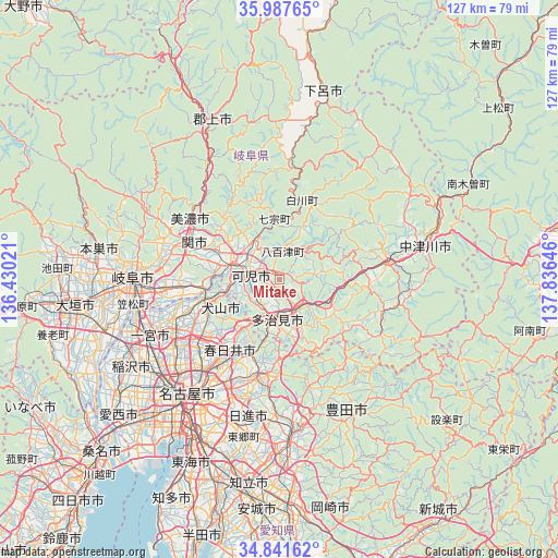
Mitake GPS coordinates[2]
35° 25' 0.012" North, 137° 7' 59.988" East
| Map corner | latitude | longitude |
|---|---|---|
| Upper-left | 35.98765°, | 136.43021° |
| Center: | 35.41667°, | 137.13333° |
| Lower-right: | 34.84162°, | 137.83646° |
| Map W x H: | 127.4×127.4 km | = 79.2×79.2mi |
| max Lat: | 45.40944° ⇑48.9% North |
| Mitake: | 35.41667° |
| min Lat: | ⇓51.1% South 24.34478° |
| min Long | Mitake | max Long |
| 123° | 137.13333° | 145.575° |
| W 49.6%⇐ | ⇒50.4% E |
Elevation
Elevation of Mitake is 232 m = 761 ft, and this is 147.4 m = 484 ft above average elevation for this country.
| Max E: |
1086 m = 3563 ft | 9.6% |
| Mitake | 232 m 761 ft | |
| Avg. | 84.6 m = 278 ft | |
Min E: |
-2 m = -7 ft | 90.4% |
See also: Japan elevation on elevation.city.
Geographical zone
Mitake is located in North temperate zone (between Tropic of Cancer and the Arctic Circle). Distance of this Northern Tropic circle is 1332 km =827.7 mi to South.| Distance of | km | miles | from Mitake |
|---|---|---|---|
| North Pole | 6069.1 | 3771.2 | to North |
| Arctic Circle | 3463.2 | 2151.9 | to North |
| Tropic Cancer | 1332 | 827.7 | to South |
| Equator | 3938 | 2447 | to South |


Nearby cities:
15 places around Mitake: (largest is in red/bold)
• Ena
22.9 km =14.2 mi,  81°
81°
• Inuyama
17.7 km =11 mi,  256°
256°
• Kakamigahara
24.2 km =15 mi,  270°
270°
• Kani
7.1 km =4.4 mi, 258°
• Kasugai
23.8 km =14.8 mi,  217°
217°
• Komaki
24.6 km =15.3 mi,  232°
232°
• Kōnan
25.6 km =15.9 mi,  248°
248°
• Mino
23.5 km =14.6 mi,  303°
303°
• Minokamo
12.5 km =7.8 mi,  305°
305°
• Mizunami
11.9 km =7.4 mi,  117°
117°
• Nagakute
27.9 km =17.3 mi,  194°
194°
• Sekimachi
21 km =13 mi,  290°
290°
• Seto
20.6 km =12.8 mi, 188°
• Tajimi
11.1 km =6.9 mi,  180°
180°
• Toki
8.7 km =5.4 mi,  148°
148°
Sources, notices
• [Note1] Compared only with cities in Japan existing in our database
• [Src1] Map data: © OpenStreetMap contributors (CC-BY-SA)
• [Src2] Other city data from geonames.org with taken over terms of usage.
• [Src3] Geographical zone / Annual Mean Temperature by Robert A. Rohde @ Wikipedia
