Machida geodata
Machida (Tokyo) is a seat of a second-order administrative division; located in Japan in Asia/Tokyo (GMT+9) time zone. With population of 399,969 people, there are 37 cities with bigger population in this country. Compared to other cities in Japan, 54.5% of cities are located further ↓South; 67.6% of cities are located further ←West and 76.7% of cities have lower elevation than Machida. Note1


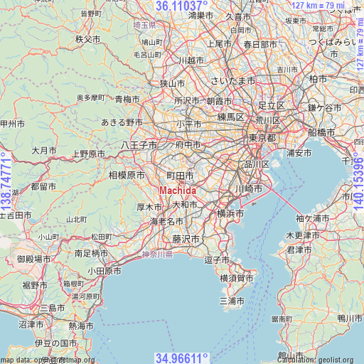
Machida GPS coordinates[2]
35° 32' 25.008" North, 139° 27' 2.988" East
| Map corner | latitude | longitude |
|---|---|---|
| Upper-left | 36.11037°, | 138.74771° |
| Center: | 35.54028°, | 139.45083° |
| Lower-right: | 34.96611°, | 140.15396° |
| Map W x H: | 127.2×127.2 km | = 79×79mi |
| max Lat: | 45.40944° ⇑45.5% North |
| Machida: | 35.54028° |
| min Lat: | ⇓54.5% South 24.34478° |
| min Long | Machida | max Long |
| 123° | 139.45083° | 145.575° |
| W 67.6%⇐ | ⇒32.4% E |
Elevation
Elevation of Machida is 103 m = 338 ft, and this is 18.4 m = 60 ft above average elevation for this country.
| Max E: |
1086 m = 3563 ft | 23.3% |
| Machida | 103 m 338 ft | |
| Avg. | 84.6 m = 278 ft | |
Min E: |
-2 m = -7 ft | 76.7% |
See also: Machida elevation on elevation.city.
Geographical zone
Machida is located in North temperate zone (between Tropic of Cancer and the Arctic Circle). Distance of this Northern Tropic circle is 1345.8 km =836.2 mi to South.| Distance of | km | miles | from Machida |
|---|---|---|---|
| North Pole | 6055.4 | 3762.6 | to North |
| Arctic Circle | 3449.5 | 2143.4 | to North |
| Tropic Cancer | 1345.8 | 836.2 | to South |
| Equator | 3951.7 | 2455.5 | to South |


Nearby cities:
15 places around Machida: (largest is in red/bold)
• Atsugi
13.1 km =8.1 mi,  214°
214°
• Ayase
11.9 km =7.4 mi,  191°
191°
• Chōfu
15.9 km =9.9 mi,  33°
33°
• Ebina
12.9 km =8 mi,  203°
203°
• Fuchū
15.2 km =9.4 mi,  10°
10°
• Hachiōji
17.2 km =10.7 mi,  318°
318°
• Hino
15.5 km =9.6 mi,  342°
342°
• Inagi
11.2 km =7 mi,  23°
23°
• Kokubunji
18.1 km =11.2 mi, 7°
• Komae
15.4 km =9.6 mi,  47°
47°
• Kunitachi
15.9 km =9.9 mi,  355°
355°
• Minamirinkan
5.1 km =3.2 mi, 188°
• Tama
11.6 km =7.2 mi, 7°
• Yamato
7.5 km =4.7 mi,  179°
179°
• Zama
8 km =5 mi,  222°
222°
Sources, notices
• [Note1] Compared only with cities in Japan existing in our database
• [Src1] Map data: © OpenStreetMap contributors (CC-BY-SA)
• [Src2] Other city data from geonames.org with taken over terms of usage.
• [Src3] Geographical zone / Annual Mean Temperature by Robert A. Rohde @ Wikipedia
