Kahoku geodata
Kahoku (Ishikawa) is a seat of a second-order administrative division; located in Japan in Asia/Tokyo (GMT+9) time zone. In our database, there are 767 cities with bigger population. Compared to other cities in Japan, 80.5% of cities are located further ↓South; 56.1% of cities are located further →East and 61.1% of cities have higher elevation than Kahoku. Note1


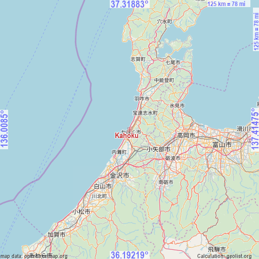
Kahoku GPS coordinates[2]
36° 45' 27.288" North, 136° 42' 41.832" East
| Map corner | latitude | longitude |
|---|---|---|
| Upper-left | 37.31883°, | 136.0085° |
| Center: | 36.75758°, | 136.71162° |
| Lower-right: | 36.19219°, | 137.41475° |
| Map W x H: | 125.3×125.3 km | = 77.9×77.9mi |
| max Lat: | 45.40944° ⇑19.5% North |
| Kahoku: | 36.75758° |
| min Lat: | ⇓80.5% South 24.34478° |
| min Long | Kahoku | max Long |
| 123° | 136.71162° | 145.575° |
| W 43.9%⇐ | ⇒56.1% E |
Elevation
Elevation of Kahoku is 18 m = 59 ft, and this is 66.6 m = 219 ft below average elevation for this country.
| Max E: |
1086 m = 3563 ft | 61.1% |
| Avg. | 84.6 m = 278 ft | |
| Kahoku | 18 m = 59 ft | |
Min E: |
-2 m = -7 ft | 38.9% |
See also: Japan elevation on elevation.city.
Geographical zone
Kahoku is located in North temperate zone (between Tropic of Cancer and the Arctic Circle). Distance of this Northern Tropic circle is 1481.1 km =920.3 mi to South.| Distance of | km | miles | from Kahoku |
|---|---|---|---|
| North Pole | 5920 | 3678.5 | to North |
| Arctic Circle | 3314.1 | 2059.3 | to North |
| Tropic Cancer | 1481.1 | 920.3 | to South |
| Equator | 4087.1 | 2539.6 | to South |


Nearby cities:
15 places around Kahoku: (largest is in red/bold)
• Fukumitsu
26.3 km =16.3 mi,  147°
147°
• Hakui
15.4 km =9.6 mi,  24°
24°
• Hakusan
32.6 km =20.3 mi,  199°
199°
• Himi
26.2 km =16.3 mi,  67°
67°
• Himimachi
27 km =16.8 mi, 66°
• Kanazawa
19.5 km =12.1 mi,  205°
205°
• Matsutō
29.7 km =18.5 mi, 205°
• Nanto
31.7 km =19.7 mi, 149°
• Nanto-shi
27.5 km =17.1 mi,  139°
139°
• Nishishinminato
32.5 km =20.2 mi,  85°
85°
• Nonoichi
26.3 km =16.3 mi, 198°
• Oyabe
15.9 km =9.9 mi,  129°
129°
• Takaoka
27.2 km =16.9 mi, 91°
• Tonami
25.7 km =16 mi, 126°
• Tsubata
10.1 km =6.3 mi,  165°
165°
Sources, notices
• [Note1] Compared only with cities in Japan existing in our database
• [Src1] Map data: © OpenStreetMap contributors (CC-BY-SA)
• [Src2] Other city data from geonames.org with taken over terms of usage.
• [Src3] Geographical zone / Annual Mean Temperature by Robert A. Rohde @ Wikipedia
