Kiebu Village geodata
Kiebu Village (Gilbert Islands) is a populated place; located in Kiribati in Pacific/Tarawa (GMT+12) time zone. With population of 551 people, there are 31 cities with bigger population in this country. Compared to other cities in Kiribati, 94.3% of cities are located further ↓South; 80% of cities are located further →East and 94.3% of cities have lower elevation than Kiebu Village. Note1


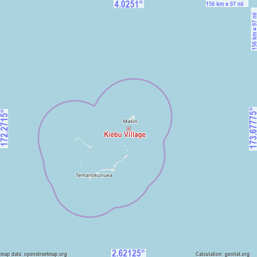
Kiebu Village GPS coordinates[2]
3° 19' 24.312" North, 172° 58' 28.632" East
| Map corner | latitude | longitude |
|---|---|---|
| Upper-left | 4.0251°, | 172.2715° |
| Center: | 3.32342°, | 172.97462° |
| Lower-right: | 2.62125°, | 173.67775° |
| Map W x H: | 156.1×156.1 km | = 97×97mi |
| max Lat: | 3.90806° ⇑5.7% North |
| Kiebu Village: | 3.32342° |
| min Lat: | ⇓94.3% South -2.65512° |
| min Long | Kiebu Village | max Long |
| -159.38832° | 172.97462° | 176.83302° |
| W 20%⇐ | ⇒80% E |
Elevation
Elevation of Kiebu Village is 13 m = 43 ft, and this is 3.1 m = 10 ft above average elevation for this country.
| Max E: |
13 m = 43 ft | 5.7% |
| Kiebu Village | 13 m 43 ft | |
| Avg. | 9.9 m = 32 ft | |
Min E: |
6 m = 20 ft | 94.3% |
See also: Kiribati elevation on elevation.city.
Geographical zone
Kiebu Village is located in North Torrid zone (between Equator and Tropic of Cancer). Distance of Equator is 369.5 km =229.6 mi to South.| Distance of | km | miles | from Kiebu Village |
|---|---|---|---|
| North Pole | 9637.5 | 5988.5 | to North |
| Arctic Circle | 7031.6 | 4369.2 | to North |
| Tropic Cancer | 2236.4 | 1389.6 | to North |
| Equator | 369.5 | 229.6 | to South |


Nearby cities:
15 places around Kiebu Village: (largest is in red/bold)
• Abarao Village
218.5 km =135.8 mi,  176°
176°
• Ambo Village
219.2 km =136.2 mi, 178°
• Betio Village
218.6 km =135.8 mi, 181°
• Bikenibeu Village
218.1 km =135.5 mi, 175°
• Bonriki Village
216.8 km =134.7 mi, 175°
• Buariki Village
190.6 km =118.4 mi, 180°
• Buota Village
215.6 km =134 mi, 175°
• Eita Village
218.5 km =135.8 mi, 176°
• Kuma Village
16.8 km =10.4 mi,  185°
185°
• Makin Village
4.7 km =2.9 mi,  12°
12°
• Nawerewere Village
218.7 km =135.9 mi, 175°
• Rawannawi Village
144.8 km =90 mi,  167°
167°
• Taborio Village
200.5 km =124.6 mi, 179°
• Taborio Village
218.9 km =136 mi, 177°
• Temaiku Village
219 km =136.1 mi, 174°
Sources, notices
• [Note1] Compared only with cities in Kiribati existing in our database
• [Src1] Map data: © OpenStreetMap contributors (CC-BY-SA)
• [Src2] Other city data from geonames.org with taken over terms of usage.
• [Src3] Geographical zone / Annual Mean Temperature by Robert A. Rohde @ Wikipedia
