Hoani geodata
Hoani (Mohéli) is a populated place; located in Comoros in Indian/Comoro (GMT+3) time zone. With population of 1,114 people, there are 81 cities with bigger population in this country. Compared to other cities in Comoros, 79.6% of cities are located further ↑North; 53.1% of cities are located further ←West and 90.3% of cities have higher elevation than Hoani. Note1


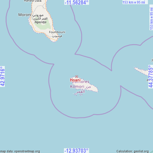
Hoani GPS coordinates[2]
12° 15' 2.988" South, 43° 40' 28.992" East
| Map corner | latitude | longitude |
|---|---|---|
| Upper-left | -11.56284°, | 42.9716° |
| Center: | -12.25083°, | 43.67472° |
| Lower-right: | -12.93703°, | 44.37785° |
| Map W x H: | 152.8×152.8 km | = 94.9×94.9mi |
| max Lat: | -11.38472° ⇑79.6% North |
| Hoani: | -12.25083° |
| min Lat: | ⇓20.4% South -12.37306° |
| min Long | Hoani | max Long |
| 43.2525° | 43.67472° | 44.53194° |
| W 53.1%⇐ | ⇒46.9% E |
Elevation
Elevation of Hoani is 19 m = 62 ft, and this is 177.1 m = 581 ft below average elevation for this country.
| Max E: |
924 m = 3031 ft | 90.3% |
| Avg. | 196.1 m = 643 ft | |
| Hoani | 19 m = 62 ft | |
Min E: |
1 m = 3 ft | 9.7% |
See also: Comoros elevation on elevation.city.
Geographical zone
Hoani is located in South Torrid zone (between Equator and Tropic of Capricorn). Distance of this Southern Tropic circle is 1243.8 km =772.9 mi to South.| Distance of | km | miles | from Hoani |
|---|---|---|---|
| Equator | 1362.2 | 846.4 | to North |
| Tropic Capricorn | 1243.8 | 772.9 | to South |
| Antarctic Circle | 6039 | 3752.5 | to South |
| South Pole | 8644.9 | 5371.7 | to South |


Nearby cities:
15 places around Hoani: (largest is in red/bold)
• Chindini
41.5 km =25.8 mi,  331°
331°
• Djoyézi
12.4 km =7.7 mi,  119°
119°
• Fomboni
8.5 km =5.3 mi, 118°
• Foumbouni
47.1 km =29.3 mi,  335°
335°
• Hamavouna
22.4 km =13.9 mi,  127°
127°
• Hamba
5.3 km =3.3 mi,  240°
240°
• Itsamia
24.5 km =15.2 mi, 121°
• Kangani
18.8 km =11.7 mi, 122°
• Kové
47.2 km =29.3 mi, 332°
• Miringoni
6.7 km =4.2 mi,  220°
220°
• Mtakoudja
3.3 km =2.1 mi,  110°
110°
• Nioumachoua
13.1 km =8.1 mi,  160°
160°
• Ouanani
16.5 km =10.3 mi, 125°
• Ourovéni
42.1 km =26.2 mi, 332°
• Ziroudani
14.4 km =8.9 mi, 129°
Sources, notices
• [Note1] Compared only with cities in Comoros existing in our database
• [Src1] Map data: © OpenStreetMap contributors (CC-BY-SA)
• [Src2] Other city data from geonames.org with taken over terms of usage.
• [Src3] Geographical zone / Annual Mean Temperature by Robert A. Rohde @ Wikipedia
