Yangju geodata
Yangju (Gyeonggi-do) is a populated place; located in South Korea in Asia/Seoul (GMT+9) time zone. With population of 179,923 people, there are 37 cities with bigger population in this country. Compared to other cities in South Korea, 94.1% of cities are located further ↓South; 63.3% of cities are located further →East and 68.5% of cities have lower elevation than Yangju. Note1


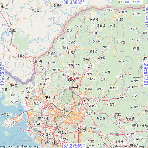
Yangju GPS coordinates[2]
37° 49' 59.196" North, 127° 3' 42.084" East
| Map corner | latitude | longitude |
|---|---|---|
| Upper-left | 38.38635°, | 126.35857° |
| Center: | 37.83311°, | 127.06169° |
| Lower-right: | 37.27569°, | 127.76482° |
| Map W x H: | 123.5×123.5 km | = 76.7×76.7mi |
| max Lat: | 38.37881° ⇑5.9% North |
| Yangju: | 37.83311° |
| min Lat: | ⇓94.1% South 33.25333° |
| min Long | Yangju | max Long |
| 126.10863° | 127.06169° | 129.55377° |
| W 36.7%⇐ | ⇒63.3% E |
Elevation
Elevation of Yangju is 76 m = 249 ft, and this is 5.6 m = 18 ft above average elevation for this country.
| Max E: |
691 m = 2267 ft | 31.5% |
| Yangju | 76 m 249 ft | |
| Avg. | 70.4 m = 231 ft | |
Min E: |
1 m = 3 ft | 68.5% |
See also: Yangju elevation on elevation.city.
Geographical zone
Yangju is located in North temperate zone (between Tropic of Cancer and the Arctic Circle). Distance of this Northern Tropic circle is 1600.7 km =994.6 mi to South.| Distance of | km | miles | from Yangju |
|---|---|---|---|
| North Pole | 5800.4 | 3604.2 | to North |
| Arctic Circle | 3194.5 | 1985 | to North |
| Tropic Cancer | 1600.7 | 994.6 | to South |
| Equator | 4206.6 | 2613.9 | to South |


Nearby cities:
15 places around Yangju: (largest is in red/bold)
• Beobwon
16.5 km =10.3 mi,  276°
276°
• Goyang-si
28 km =17.4 mi,  225°
225°
• Guri-si
27 km =16.8 mi,  165°
165°
• Gwangjeok
6.9 km =4.3 mi,  263°
263°
• Gwangtan
19.5 km =12.1 mi,  252°
252°
• Hwado
29.5 km =18.3 mi,  132°
132°
• Jangheung
16.7 km =10.4 mi,  219°
219°
• Jeongok
21.5 km =13.4 mi,  1°
1°
• Jinjeop
16.3 km =10.1 mi,  136°
136°
• Munsan
24.5 km =15.2 mi, 276°
• Namyangju
25.6 km =15.9 mi,  148°
148°
• Onam
19.6 km =12.2 mi, 139°
• Paju
21.5 km =13.4 mi,  269°
269°
• Su-dong
27.3 km =17 mi,  121°
121°
• Uijeongbu-si
10.3 km =6.4 mi,  187°
187°
Sources, notices
• [Note1] Compared only with cities in South Korea existing in our database
• [Src1] Map data: © OpenStreetMap contributors (CC-BY-SA)
• [Src2] Other city data from geonames.org with taken over terms of usage.
• [Src3] Geographical zone / Annual Mean Temperature by Robert A. Rohde @ Wikipedia
