Nangen geodata
Nangen (Jeollabuk-do) is a populated place; located in South Korea in Asia/Seoul (GMT+9) time zone. With population of 58,057 people, there are 77 cities with bigger population in this country. Compared to other cities in South Korea, 64.3% of cities are located further ↑North; 55.2% of cities are located further ←West and 78.7% of cities have lower elevation than Nangen. Note1


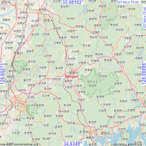
Nangen GPS coordinates[2]
35° 24' 36" North, 127° 23' 8.988" East
| Map corner | latitude | longitude |
|---|---|---|
| Upper-left | 35.98102°, | 126.68271° |
| Center: | 35.41°, | 127.38583° |
| Lower-right: | 34.8349°, | 128.08896° |
| Map W x H: | 127.4×127.4 km | = 79.2×79.2mi |
| max Lat: | 38.37881° ⇑64.3% North |
| Nangen: | 35.41° |
| min Lat: | ⇓35.7% South 33.25333° |
| min Long | Nangen | max Long |
| 126.10863° | 127.38583° | 129.55377° |
| W 55.2%⇐ | ⇒44.8% E |
Elevation
Elevation of Nangen is 103 m = 338 ft, and this is 32.6 m = 107 ft above average elevation for this country.
| Max E: |
691 m = 2267 ft | 21.3% |
| Nangen | 103 m 338 ft | |
| Avg. | 70.4 m = 231 ft | |
Min E: |
1 m = 3 ft | 78.7% |
See also: Nangen elevation on elevation.city.
Geographical zone
Nangen is located in North temperate zone (between Tropic of Cancer and the Arctic Circle). Distance of this Northern Tropic circle is 1331.3 km =827.2 mi to South.| Distance of | km | miles | from Nangen |
|---|---|---|---|
| North Pole | 6069.8 | 3771.6 | to North |
| Arctic Circle | 3464 | 2152.4 | to North |
| Tropic Cancer | 1331.3 | 827.2 | to South |
| Equator | 3937.2 | 2446.5 | to South |


Nearby cities:
15 places around Nangen: (largest is in red/bold)
• Baekjeon
27.7 km =17.2 mi,  54°
54°
• Beonam
19.7 km =12.2 mi, 46°
• Byeonggok
30 km =18.6 mi,  63°
63°
• Changsu
29 km =18 mi,  23°
23°
• Donggye
13.4 km =8.3 mi,  285°
285°
• Gangjin
24.2 km =15 mi,  303°
303°
• Gurim
26.1 km =16.2 mi,  280°
280°
• Gwanchon
31.2 km =19.4 mi,  340°
340°
• Imsil
24.5 km =15.2 mi, 336°
• Ingye
22.2 km =13.8 mi,  270°
270°
• Kurye
23.4 km =14.5 mi,  162°
162°
• Sannae
36.7 km =22.8 mi, 298°
• Sanseo
19.3 km =12 mi,  2°
2°
• Seongsu
25 km =15.5 mi,  349°
349°
• Ssangchi
36.2 km =22.5 mi, 286°
Sources, notices
• [Note1] Compared only with cities in South Korea existing in our database
• [Src1] Map data: © OpenStreetMap contributors (CC-BY-SA)
• [Src2] Other city data from geonames.org with taken over terms of usage.
• [Src3] Geographical zone / Annual Mean Temperature by Robert A. Rohde @ Wikipedia
