Krustpils geodata
Krustpils (Jēkabpils Municipality) is a populated place; located in Latvia in Europe/Riga (GMT+3) time zone. With population of 6,680 people, there are 32 cities with bigger population in this country. Compared to other cities in Latvia, 78.6% of cities are located further ↑North; 77.1% of cities are located further ←West and 67.9% of cities have lower elevation than Krustpils. Note1


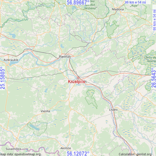
Krustpils GPS coordinates[2]
56° 30' 38.448" North, 25° 51' 40.212" East
| Map corner | latitude | longitude |
|---|---|---|
| Upper-left | 56.89667°, | 25.15805° |
| Center: | 56.51068°, | 25.86117° |
| Lower-right: | 56.12072°, | 26.5643° |
| Map W x H: | 86.3×86.3 km | = 53.6×53.6mi |
| max Lat: | 57.89752° ⇑78.6% North |
| Krustpils: | 56.51068° |
| min Lat: | ⇓21.4% South 55.75284° |
| min Long | Krustpils | max Long |
| 21.01085° | 25.86117° | 28.12165° |
| W 77.1%⇐ | ⇒22.9% E |
Elevation
Elevation of Krustpils is 91 m = 299 ft, and this is 25.6 m = 84 ft above average elevation for this country.
| Max E: |
212 m = 696 ft | 32.1% |
| Krustpils | 91 m 299 ft | |
| Avg. | 65.4 m = 215 ft | |
Min E: |
2 m = 7 ft | 67.9% |
See also: Latvia elevation on elevation.city.
Geographical zone
Krustpils is located in North temperate zone (between Tropic of Cancer and the Arctic Circle). Distance of this North polar circle is 1117.8 km =694.6 mi to North.| Distance of | km | miles | from Krustpils |
|---|---|---|---|
| North Pole | 3723.7 | 2313.8 | to North |
| Arctic Circle | 1117.8 | 694.6 | to North |
| Tropic Cancer | 3677.5 | 2285.1 | to South |
| Equator | 6283.4 | 3904.3 | to South |


Nearby cities:
15 places around Krustpils: (largest is in red/bold)
• Aizkraukle
38.6 km =24 mi,  285°
285°
• Aknīste
39.4 km =24.5 mi,  190°
190°
• Jaunjelgava
49 km =30.4 mi,  283°
283°
• Jēkabpils
1.3 km =0.8 mi, 190°
• Koknese
30.4 km =18.9 mi,  301°
301°
• Līvāni
26 km =16.2 mi,  131°
131°
• Madona
43.9 km =27.3 mi,  29°
29°
• Nereta
48.3 km =30 mi,  224°
224°
• Pļaviņas
14.5 km =9 mi,  325°
325°
• Sala
6 km =3.7 mi,  265°
265°
• Skrīveri
47.8 km =29.7 mi, 288°
• Varakļāni
55.8 km =34.7 mi,  78°
78°
• Vecvārkava
52.9 km =32.9 mi, 131°
• Viesīte
26.1 km =16.2 mi,  226°
226°
• Ērgļi
45.1 km =28 mi,  342°
342°
Sources, notices
• [Note1] Compared only with cities in Latvia existing in our database
• [Src1] Map data: © OpenStreetMap contributors (CC-BY-SA)
• [Src2] Other city data from geonames.org with taken over terms of usage.
• [Src3] Geographical zone / Annual Mean Temperature by Robert A. Rohde @ Wikipedia
