Suugaant geodata
Suugaant (Middle Govĭ) is a seat of a second-order administrative division; located in Mongolia in Asia/Ulaanbaatar (GMT+8) time zone. In our database, there are 33 cities with bigger population. Compared to other cities in Mongolia, 86.2% of cities are located further ↑North; 77.9% of cities are located further ←West and 70.6% of cities have higher elevation than Suugaant. Note1


Suugaant GPS coordinates[2]
45° 31' 57.252" North, 107° 2' 43.656" East
| Map corner | latitude | longitude |
|---|---|---|
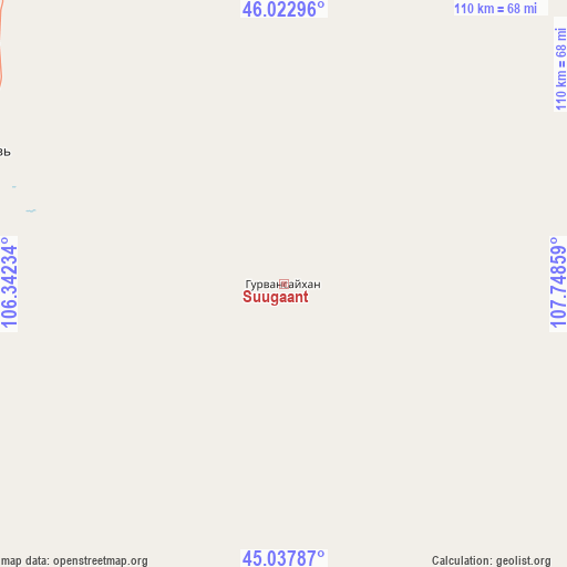
| Upper-left | 46.02296°, | 106.34234° |
| Center: | 45.53257°, | 107.04546° |
| Lower-right: | 45.03787°, | 107.74859° |
| Map W x H: | 109.5×109.5 km | = 68×68mi |
| max Lat: | 51.50725° ⇑86.2% North |
| Suugaant: | 45.53257° |
| min Lat: | ⇓13.8% South 42.84199° |
| min Long | Suugaant | max Long |
| 89.14358° | 107.04546° | 118.51014° |
| W 77.9%⇐ | ⇒22.1% E |
Elevation
Elevation of Suugaant is 1169 m = 3835 ft, and this is 247.5 m = 812 ft below average elevation for this country.
| Max E: |
2800 m = 9186 ft | 70.6% |
| Avg. | 1416.5 m = 4647 ft | |
| Suugaant | 1169 m = 3835 ft | |
Min E: |
619 m = 2031 ft | 29.4% |
See also: Mongolia elevation on elevation.city.
Geographical zone
Suugaant is located in North temperate zone (between Tropic of Cancer and the Arctic Circle). Distance of this North polar circle is 2338.4 km =1453 mi to North.| Distance of | km | miles | from Suugaant |
|---|---|---|---|
| North Pole | 4944.3 | 3072.2 | to North |
| Arctic Circle | 2338.4 | 1453 | to North |
| Tropic Cancer | 2456.8 | 1526.6 | to South |
| Equator | 5062.7 | 3145.8 | to South |


Nearby cities:
15 places around Suugaant: (largest is in red/bold)
• Amardalay
84 km =52.2 mi,  321°
321°
• Argatay
77.4 km =48.1 mi,  70°
70°
• Bayantal
150.1 km =93.3 mi,  40°
40°
• Böhöt
102.2 km =63.5 mi,  109°
109°
• Choyr
137.2 km =85.3 mi,  47°
47°
• Dzogsool
141.2 km =87.7 mi,  3°
3°
• Hajuu-Us
67 km =41.6 mi,  30°
30°
• Haraat
108.8 km =67.6 mi, 25°
• Mandalgovi
65.4 km =40.6 mi,  293°
293°
• Rashaant
70.9 km =44.1 mi,  248°
248°
• Shiveegovĭ
137.7 km =85.6 mi,  62°
62°
• Tavin
139.2 km =86.5 mi,  313°
313°
• Tsagaan-Ovoo
100.5 km =62.4 mi,  268°
268°
• Tsant
76.7 km =47.7 mi,  340°
340°
• Ulaanjirem
127.5 km =79.2 mi, 245°
Sources, notices
• [Note1] Compared only with cities in Mongolia existing in our database
• [Src1] Map data: © OpenStreetMap contributors (CC-BY-SA)
• [Src2] Other city data from geonames.org with taken over terms of usage.
• [Src3] Geographical zone / Annual Mean Temperature by Robert A. Rohde @ Wikipedia
