Sümber geodata
Sümber (East Aimak) is a seat of a second-order administrative division; located in Mongolia in Asia/Choibalsan (GMT+8) time zone. In our database, there are 33 cities with bigger population. Compared to other cities in Mongolia, 50% of cities are located further ↓South; 100% of cities are located further ←West and 94.8% of cities have higher elevation than Sümber. Note1


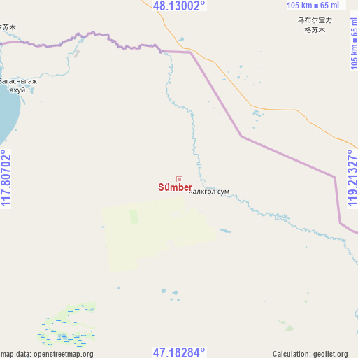
Sümber GPS coordinates[2]
47° 39' 30.888" North, 118° 30' 36.504" East
| Map corner | latitude | longitude |
|---|---|---|
| Upper-left | 48.13002°, | 117.80702° |
| Center: | 47.65858°, | 118.51014° |
| Lower-right: | 47.18284°, | 119.21327° |
| Map W x H: | 105.3×105.3 km | = 65.4×65.4mi |
| max Lat: | 51.50725° ⇑50% North |
| Sümber: | 47.65858° |
| min Lat: | ⇓50% South 42.84199° |
| min Long | Sümber | max Long |
| 89.14358° | 118.51014° | 118.51014° |
| W 100%⇐ | ⇒0% E |
Elevation
Elevation of Sümber is 757 m = 2484 ft, and this is 659.5 m = 2164 ft below average elevation for this country.
| Max E: |
2800 m = 9186 ft | 94.8% |
| Avg. | 1416.5 m = 4647 ft | |
| Sümber | 757 m = 2484 ft | |
Min E: |
619 m = 2031 ft | 5.2% |
See also: Mongolia elevation on elevation.city.
Geographical zone
Sümber is located in North temperate zone (between Tropic of Cancer and the Arctic Circle). Distance of this North polar circle is 2102 km =1306.1 mi to North.| Distance of | km | miles | from Sümber |
|---|---|---|---|
| North Pole | 4707.9 | 2925.4 | to North |
| Arctic Circle | 2102 | 1306.1 | to North |
| Tropic Cancer | 2693.2 | 1673.5 | to South |
| Equator | 5299.1 | 3292.7 | to South |


Nearby cities:
6 places around Sümber: (largest is in red/bold)
• Choibalsan
300.2 km =186.5 mi,  278°
278°
• Chonogol
309 km =192 mi,  230°
230°
• Dzüünbulag
254.8 km =158.3 mi,  252°
252°
• Ereencav
320.4 km =199.1 mi,  320°
320°
• Hulstay
284.2 km =176.6 mi,  287°
287°
• Sümiyn Bulag
313.9 km =195 mi,  301°
301°
Sources, notices
• [Note1] Compared only with cities in Mongolia existing in our database
• [Src1] Map data: © OpenStreetMap contributors (CC-BY-SA)
• [Src2] Other city data from geonames.org with taken over terms of usage.
• [Src3] Geographical zone / Annual Mean Temperature by Robert A. Rohde @ Wikipedia
