Chonogol geodata
Chonogol (Sühbaatar) is a seat of a second-order administrative division; located in Mongolia in Asia/Choibalsan (GMT+8) time zone. In our database, there are 33 cities with bigger population. Compared to other cities in Mongolia, 81.3% of cities are located further ↑North; 99.4% of cities are located further ←West and 78.2% of cities have higher elevation than Chonogol. Note1


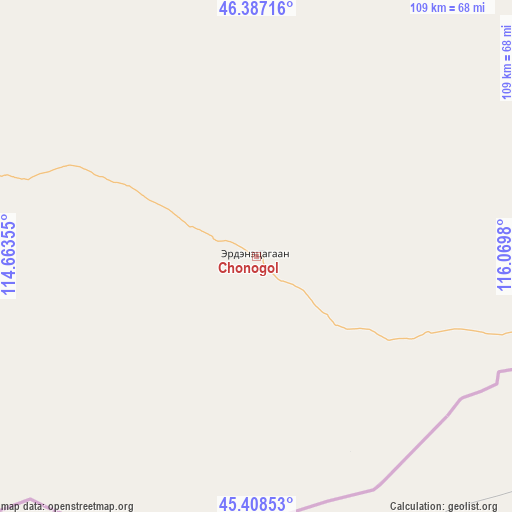
Chonogol GPS coordinates[2]
45° 54' 0" North, 115° 22' 0.012" East
| Map corner | latitude | longitude |
|---|---|---|
| Upper-left | 46.38716°, | 114.66355° |
| Center: | 45.9°, | 115.36667° |
| Lower-right: | 45.40853°, | 116.0698° |
| Map W x H: | 108.8×108.8 km | = 67.6×67.6mi |
| max Lat: | 51.50725° ⇑81.3% North |
| Chonogol: | 45.9° |
| min Lat: | ⇓18.7% South 42.84199° |
| min Long | Chonogol | max Long |
| 89.14358° | 115.36667° | 118.51014° |
| W 99.4%⇐ | ⇒0.59999999999999% E |
Elevation
Elevation of Chonogol is 1074 m = 3524 ft, and this is 342.5 m = 1124 ft below average elevation for this country.
| Max E: |
2800 m = 9186 ft | 78.2% |
| Avg. | 1416.5 m = 4647 ft | |
| Chonogol | 1074 m = 3524 ft | |
Min E: |
619 m = 2031 ft | 21.8% |
See also: Mongolia elevation on elevation.city.
Geographical zone
Chonogol is located in North temperate zone (between Tropic of Cancer and the Arctic Circle). Distance of this North polar circle is 2297.6 km =1427.7 mi to North.| Distance of | km | miles | from Chonogol |
|---|---|---|---|
| North Pole | 4903.5 | 3046.9 | to North |
| Arctic Circle | 2297.6 | 1427.7 | to North |
| Tropic Cancer | 2497.7 | 1552 | to South |
| Equator | 5103.6 | 3171.2 | to South |


Nearby cities:
15 places around Chonogol: (largest is in red/bold)
• Baruun-Urt
182.4 km =113.3 mi,  298°
298°
• Bayasgalant
281.2 km =174.7 mi, 295°
• Choibalsan
249.7 km =155.2 mi,  345°
345°
• Dzüünbulag
117.3 km =72.9 mi,  357°
357°
• Dzüünbulag
251 km =156 mi,  282°
282°
• Hatavch
188.9 km =117.4 mi, 279°
• Havirga
178.9 km =111.2 mi,  261°
261°
• Haylaastay
149.5 km =92.9 mi,  310°
310°
• Hongor
156.3 km =97.1 mi,  237°
237°
• Ovoot
135.3 km =84.1 mi, 240°
• Sergelen
275.9 km =171.4 mi, 276°
• Shireet
234.1 km =145.5 mi,  265°
265°
• Tsagaanders
250.8 km =155.8 mi,  342°
342°
• Ulaandel
147.2 km =91.5 mi,  290°
290°
• Öndörhoshuu
257.6 km =160.1 mi, 335°
Sources, notices
• [Note1] Compared only with cities in Mongolia existing in our database
• [Src1] Map data: © OpenStreetMap contributors (CC-BY-SA)
• [Src2] Other city data from geonames.org with taken over terms of usage.
• [Src3] Geographical zone / Annual Mean Temperature by Robert A. Rohde @ Wikipedia
