Xgħajra geodata
Xgħajra (Ix-Xgħajra) is a seat of a first-order administrative division; located in Malta in Europe/Malta (GMT+2) time zone. With population of 837 people, there are 66 cities with bigger population in this country. Compared to other cities in Malta, 66.2% of cities are located further ↑North; 98.6% of cities are located further ←West and 84.5% of cities have higher elevation than Xgħajra. Note1


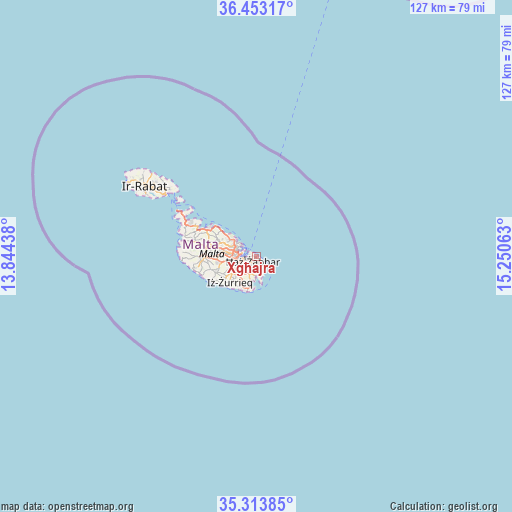
Xgħajra GPS coordinates[2]
35° 53' 8.016" North, 14° 32' 51" East
| Map corner | latitude | longitude |
|---|---|---|
| Upper-left | 36.45317°, | 13.84438° |
| Center: | 35.88556°, | 14.5475° |
| Lower-right: | 35.31385°, | 15.25063° |
| Map W x H: | 126.7×126.7 km | = 78.7×78.7mi |
| max Lat: | 36.07222° ⇑66.2% North |
| Xgħajra: | 35.88556° |
| min Lat: | ⇓33.8% South 35.82583° |
| min Long | Xgħajra | max Long |
| 14.20361° | 14.5475° | 14.56701° |
| W 98.6%⇐ | ⇒1.4% E |
Elevation
Elevation of Xgħajra is 31 m = 102 ft, and this is 47.1 m = 155 ft below average elevation for this country.
| Max E: |
231 m = 758 ft | 84.5% |
| Avg. | 78.1 m = 256 ft | |
| Xgħajra | 31 m = 102 ft | |
Min E: |
5 m = 16 ft | 15.5% |
See also: Malta elevation on elevation.city.
Geographical zone
Xgħajra is located in North temperate zone (between Tropic of Cancer and the Arctic Circle). Distance of this Northern Tropic circle is 1384.2 km =860.1 mi to South.| Distance of | km | miles | from Xgħajra |
|---|---|---|---|
| North Pole | 6017 | 3738.8 | to North |
| Arctic Circle | 3411.1 | 2119.6 | to North |
| Tropic Cancer | 1384.2 | 860.1 | to South |
| Equator | 3990.1 | 2479.3 | to South |


Nearby cities:
15 places around Xgħajra: (largest is in red/bold)
• Cospicua
1.8 km =1.1 mi,  270°
270°
• Fgura
3.5 km =2.2 mi,  241°
241°
• Floriana
3.7 km =2.3 mi,  287°
287°
• Kalkara
1.4 km =0.9 mi, 286°
• Marsa
4.8 km =3 mi,  261°
261°
• Marsaskala
3.1 km =1.9 mi,  145°
145°
• Paola
4.6 km =2.9 mi,  252°
252°
• Pietà
4.8 km =3 mi,  282°
282°
• Santa Luċija
4.4 km =2.7 mi,  234°
234°
• Senglea
2.8 km =1.7 mi, 274°
• Tarxien
3.7 km =2.3 mi, 233°
• Valletta
3.3 km =2.1 mi,  298°
298°
• Vittoriosa
2.7 km =1.7 mi, 285°
• Żabbar
1.5 km =0.9 mi, 226°
• Żejtun
3.6 km =2.2 mi,  201°
201°
Sources, notices
• [Note1] Compared only with cities in Malta existing in our database
• [Src1] Map data: © OpenStreetMap contributors (CC-BY-SA)
• [Src2] Other city data from geonames.org with taken over terms of usage.
• [Src3] Geographical zone / Annual Mean Temperature by Robert A. Rohde @ Wikipedia
