Marsa geodata
Marsa (Il-Marsa) is a seat of a first-order administrative division; located in Malta in Europe/Malta (GMT+2) time zone. With population of 5,116 people, there are 29 cities with bigger population in this country. Compared to other cities in Malta, 70.4% of cities are located further ↑North; 73.2% of cities are located further ←West and 98.6% of cities have higher elevation than Marsa. Note1


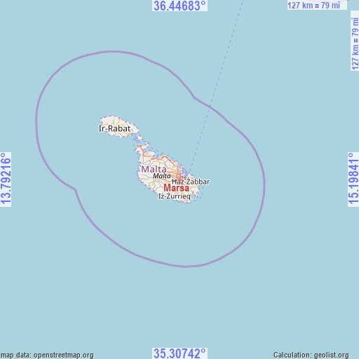
Marsa GPS coordinates[2]
35° 52' 45.012" North, 14° 29' 43.008" East
| Map corner | latitude | longitude |
|---|---|---|
| Upper-left | 36.44683°, | 13.79216° |
| Center: | 35.87917°, | 14.49528° |
| Lower-right: | 35.30742°, | 15.19841° |
| Map W x H: | 126.7×126.7 km | = 78.7×78.7mi |
| max Lat: | 36.07222° ⇑70.4% North |
| Marsa: | 35.87917° |
| min Lat: | ⇓29.6% South 35.82583° |
| min Long | Marsa | max Long |
| 14.20361° | 14.49528° | 14.56701° |
| W 73.2%⇐ | ⇒26.8% E |
Elevation
Elevation of Marsa is 8 m = 26 ft, and this is 70.1 m = 230 ft below average elevation for this country.
| Max E: |
231 m = 758 ft | 98.6% |
| Avg. | 78.1 m = 256 ft | |
| Marsa | 8 m = 26 ft | |
Min E: |
5 m = 16 ft | 1.4% |
See also: Malta elevation on elevation.city.
Geographical zone
Marsa is located in North temperate zone (between Tropic of Cancer and the Arctic Circle). Distance of this Northern Tropic circle is 1383.5 km =859.7 mi to South.| Distance of | km | miles | from Marsa |
|---|---|---|---|
| North Pole | 6017.7 | 3739.2 | to North |
| Arctic Circle | 3411.8 | 2120 | to North |
| Tropic Cancer | 1383.5 | 859.7 | to South |
| Equator | 3989.4 | 2478.9 | to South |


Nearby cities:
15 places around Marsa: (largest is in red/bold)
• Fgura
1.9 km =1.2 mi,  121°
121°
• Floriana
2.2 km =1.4 mi,  32°
32°
• Imsida
1.9 km =1.2 mi,  322°
322°
• Luqa
2.3 km =1.4 mi,  194°
194°
• Paola
0.8 km =0.5 mi,  154°
154°
• Pietà
1.7 km =1.1 mi,  359°
359°
• Qormi
2.1 km =1.3 mi,  260°
260°
• Santa Luċija
2.1 km =1.3 mi, 148°
• Santa Venera
2.3 km =1.4 mi,  304°
304°
• Senglea
2.2 km =1.4 mi,  64°
64°
• Tarxien
2.3 km =1.4 mi,  129°
129°
• Ta’ Xbiex
2.2 km =1.4 mi, 358°
• Valletta
2.9 km =1.8 mi,  37°
37°
• Vittoriosa
2.5 km =1.6 mi, 55°
• Ħamrun
1.2 km =0.7 mi, 302°
Sources, notices
• [Note1] Compared only with cities in Malta existing in our database
• [Src1] Map data: © OpenStreetMap contributors (CC-BY-SA)
• [Src2] Other city data from geonames.org with taken over terms of usage.
• [Src3] Geographical zone / Annual Mean Temperature by Robert A. Rohde @ Wikipedia
