Triolet geodata
Triolet (Pamplemousses) is a populated place; located in Mauritius in Indian/Mauritius (GMT+4) time zone. With population of 23,269 people, there are 5 cities with bigger population in this country. Compared to other cities in Mauritius, 87.9% of cities are located further ↓South; 69.7% of cities are located further →East and 59.6% of cities have lower elevation than Triolet. Note1


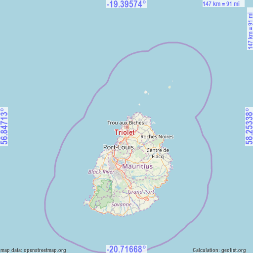
Triolet GPS coordinates[2]
20° 3' 27.36" South, 57° 33' 0.9" East
| Map corner | latitude | longitude |
|---|---|---|
| Upper-left | -19.39574°, | 56.84713° |
| Center: | -20.0576°, | 57.55025° |
| Lower-right: | -20.71668°, | 58.25338° |
| Map W x H: | 146.9×146.9 km | = 91.3×91.3mi |
| max Lat: | -10.38803° ⇑12.1% North |
| Triolet: | -20.0576° |
| min Lat: | ⇓87.9% South -20.51667° |
| min Long | Triolet | max Long |
| 56.61795° | 57.55025° | 63.41667° |
| W 30.3%⇐ | ⇒69.7% E |
Elevation
Elevation of Triolet is 135 m = 443 ft, and this is 17.1 m = 56 ft below average elevation for this country.
| Max E: |
467 m = 1532 ft | 40.4% |
| Avg. | 152.1 m = 499 ft | |
| Triolet | 135 m = 443 ft | |
Min E: |
1 m = 3 ft | 59.6% |
See also: Mauritius elevation on elevation.city.
Geographical zone
Triolet is located in South Torrid zone (between Equator and Tropic of Capricorn). Distance of this Southern Tropic circle is 375.7 km =233.4 mi to South.| Distance of | km | miles | from Triolet |
|---|---|---|---|
| Equator | 2230.2 | 1385.8 | to North |
| Tropic Capricorn | 375.7 | 233.4 | to South |
| Antarctic Circle | 5171 | 3213.1 | to South |
| South Pole | 7776.9 | 4832.3 | to South |


Nearby cities:
15 places around Triolet: (largest is in red/bold)
• Arsenal
5.6 km =3.5 mi,  196°
196°
• Calebasses
6 km =3.7 mi,  176°
176°
• Cottage
8.2 km =5.1 mi,  91°
91°
• Fond du Sac
3.7 km =2.3 mi,  72°
72°
• Grand Baie
5.4 km =3.4 mi,  35°
35°
• Le Hochet
9.1 km =5.7 mi, 199°
• Mapou
5.7 km =3.5 mi,  110°
110°
• Morcellement Saint André
2.5 km =1.6 mi,  130°
130°
• Pamplemousses
5.6 km =3.5 mi,  157°
157°
• Petit Raffray
8.7 km =5.4 mi,  61°
61°
• Piton
9.1 km =5.7 mi, 113°
• Plaine des Papayes
2.5 km =1.6 mi, 109°
• Pointe aux Piments
2.9 km =1.8 mi,  253°
253°
• Terre Rouge
8.1 km =5 mi, 199°
• The Vale
6.2 km =3.9 mi, 60°
Sources, notices
• [Note1] Compared only with cities in Mauritius existing in our database
• [Src1] Map data: © OpenStreetMap contributors (CC-BY-SA)
• [Src2] Other city data from geonames.org with taken over terms of usage.
• [Src3] Geographical zone / Annual Mean Temperature by Robert A. Rohde @ Wikipedia
