San Fernando geodata
San Fernando (Tamaulipas) is a seat of a second-order administrative division; located in Mexico in America/Monterrey (GMT-6) time zone. With population of 29,171 people, there are 343 cities with bigger population in this country. Compared to other cities in Mexico, 91.6% of cities are located further ↓South; 61.9% of cities are located further ←West and 85% of cities have higher elevation than San Fernando. Note1


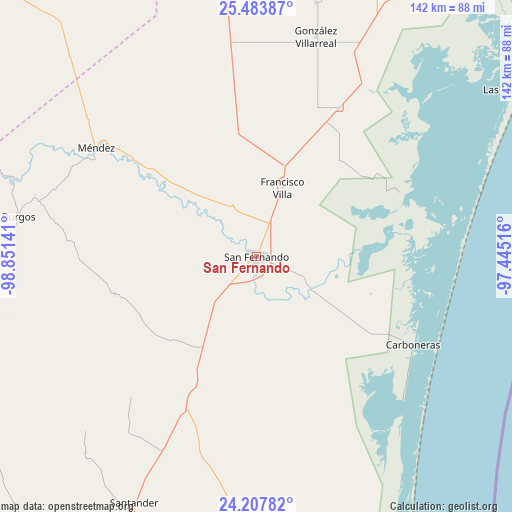
San Fernando GPS coordinates[2]
24° 50' 50.964" North, 98° 8' 53.808" West
| Map corner | latitude | longitude |
|---|---|---|
| Upper-left | 25.48387°, | -98.85141° |
| Center: | 24.84749°, | -98.14828° |
| Lower-right: | 24.20782°, | -97.44516° |
| Map W x H: | 141.9×141.9 km | = 88.2×88.2mi |
| max Lat: | 32.7° ⇑8.4% North |
| San Fernando: | 24.84749° |
| min Lat: | ⇓91.6% South 14.53588° |
| min Long | San Fernando | max Long |
| -117.105° | -98.14828° | -86.73105° |
| W 61.9%⇐ | ⇒38.1% E |
Elevation
Elevation of San Fernando is 44 m = 144 ft, and this is 1209.7 m = 3969 ft below average elevation for this country.
| Max E: |
3497 m = 11473 ft | 85% |
| Avg. | 1253.7 m = 4113 ft | |
| San Fernando | 44 m = 144 ft | |
Min E: |
-1 m = -3 ft | 15% |
See also: Mexico elevation on elevation.city.
Geographical zone
San Fernando is located in North temperate zone (between Tropic of Cancer and the Arctic Circle). Distance of this Northern Tropic circle is 156.9 km =97.5 mi to South.| Distance of | km | miles | from San Fernando |
|---|---|---|---|
| North Pole | 7244.3 | 4501.4 | to North |
| Arctic Circle | 4638.4 | 2882.2 | to North |
| Tropic Cancer | 156.9 | 97.5 | to South |
| Equator | 2762.8 | 1716.7 | to South |


Nearby cities:
15 places around San Fernando: (largest is in red/bold)
• Alfredo V. Bonfil
44.7 km =27.8 mi,  27°
27°
• Burgos
66.6 km =41.4 mi,  279°
279°
• Carboneras
49.9 km =31 mi,  119°
119°
• Carvajal
55.5 km =34.5 mi,  132°
132°
• Cruillas
40.6 km =25.2 mi,  255°
255°
• División del Norte
12 km =7.5 mi, 115°
• El Barrancón del Tío Blas (El Barrancón)
47.3 km =29.4 mi,  66°
66°
• Emiliano Zapata (Ampliación San Germán)
28.5 km =17.7 mi,  19°
19°
• Guadalupe Victoria (El Norteño)
53 km =32.9 mi, 19°
• La Loma
49.7 km =30.9 mi, 31°
• La Lomita
26.6 km =16.5 mi, 17°
• Méndez
53.5 km =33.2 mi,  304°
304°
• Punta de Alambre
53.3 km =33.1 mi, 128°
• Punta de Piedra
56.6 km =35.2 mi, 133°
• San Germán
47 km =29.2 mi, 29°
Sources, notices
• [Note1] Compared only with cities in Mexico existing in our database
• [Src1] Map data: © OpenStreetMap contributors (CC-BY-SA)
• [Src2] Other city data from geonames.org with taken over terms of usage.
• [Src3] Geographical zone / Annual Mean Temperature by Robert A. Rohde @ Wikipedia
