Sombrerete geodata
Sombrerete (Veracruz) is a populated place; located in Mexico in America/Mexico_City (GMT-6) time zone. With population of 966 people, there are 9007 cities with bigger population in this country. Compared to other cities in Mexico, 70% of cities are located further ↓South; 71.2% of cities are located further ←West and 81.8% of cities have higher elevation than Sombrerete. Note1


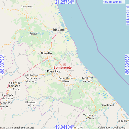
Sombrerete GPS coordinates[2]
20° 36' 2.196" North, 97° 20' 5.28" West
| Map corner | latitude | longitude |
|---|---|---|
| Upper-left | 21.25734°, | -98.03793° |
| Center: | 20.60061°, | -97.3348° |
| Lower-right: | 19.94104°, | -96.63168° |
| Map W x H: | 146.4×146.4 km | = 91×91mi |
| max Lat: | 32.7° ⇑30% North |
| Sombrerete: | 20.60061° |
| min Lat: | ⇓70% South 14.53588° |
| min Long | Sombrerete | max Long |
| -117.105° | -97.3348° | -86.73105° |
| W 71.2%⇐ | ⇒28.8% E |
Elevation
Elevation of Sombrerete is 72 m = 236 ft, and this is 1181.7 m = 3877 ft below average elevation for this country.
| Max E: |
3497 m = 11473 ft | 81.8% |
| Avg. | 1253.7 m = 4113 ft | |
| Sombrerete | 72 m = 236 ft | |
Min E: |
-1 m = -3 ft | 18.2% |
See also: Mexico elevation on elevation.city.
Geographical zone
Sombrerete is located in North Torrid zone (between Equator and Tropic of Cancer). Distance of this Northern Tropic circle is 315.3 km =195.9 mi to North.| Distance of | km | miles | from Sombrerete |
|---|---|---|---|
| North Pole | 7716.5 | 4794.8 | to North |
| Arctic Circle | 5110.6 | 3175.6 | to North |
| Tropic Cancer | 315.3 | 195.9 | to North |
| Equator | 2290.6 | 1423.3 | to South |


Nearby cities:
15 places around Sombrerete: (largest is in red/bold)
• Adolfo Ruíz Cortines
3.1 km =1.9 mi,  99°
99°
• Cabellal Número Uno
8.4 km =5.2 mi,  7°
7°
• Caristay
5.8 km =3.6 mi,  31°
31°
• Carrizal
8.1 km =5 mi,  93°
93°
• Cruz Blanca Número Uno
7.3 km =4.5 mi,  53°
53°
• Donato Márquez Azuara
8.9 km =5.5 mi,  199°
199°
• El Cabellal
6.6 km =4.1 mi, 204°
• La Concepción
8.7 km =5.4 mi,  307°
307°
• La Piedad
8.3 km =5.2 mi,  347°
347°
• Paso del Pital
9 km =5.6 mi,  291°
291°
• Plan de los Mangos
4.5 km =2.8 mi,  182°
182°
• Poza Verde
9.1 km =5.7 mi,  109°
109°
• Residencial Tajín
8.6 km =5.3 mi,  268°
268°
• Santa Águeda
6 km =3.7 mi,  160°
160°
• Vicente Herrera
3.1 km =1.9 mi,  210°
210°
Sources, notices
• [Note1] Compared only with cities in Mexico existing in our database
• [Src1] Map data: © OpenStreetMap contributors (CC-BY-SA)
• [Src2] Other city data from geonames.org with taken over terms of usage.
• [Src3] Geographical zone / Annual Mean Temperature by Robert A. Rohde @ Wikipedia
