Moyotzingo geodata
Moyotzingo (Puebla) is a populated place; located in Mexico in America/Mexico_City (GMT-6) time zone. With population of 27,137 people, there are 368 cities with bigger population in this country. Compared to other cities in Mexico, 59.9% of cities are located further ↑North; 58.5% of cities are located further ←West and 84.1% of cities have lower elevation than Moyotzingo. Note1


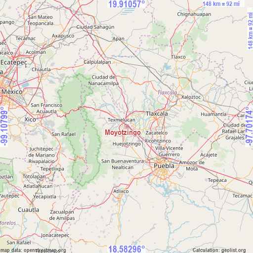
Moyotzingo GPS coordinates[2]
19° 14' 53.196" North, 98° 24' 17.496" West
| Map corner | latitude | longitude |
|---|---|---|
| Upper-left | 19.91057°, | -99.10799° |
| Center: | 19.24811°, | -98.40486° |
| Lower-right: | 18.58296°, | -97.70174° |
| Map W x H: | 147.6×147.6 km | = 91.7×91.7mi |
| max Lat: | 32.7° ⇑59.9% North |
| Moyotzingo: | 19.24811° |
| min Lat: | ⇓40.1% South 14.53588° |
| min Long | Moyotzingo | max Long |
| -117.105° | -98.40486° | -86.73105° |
| W 58.5%⇐ | ⇒41.5% E |
Elevation
Elevation of Moyotzingo is 2244 m = 7362 ft, and this is 990.3 m = 3249 ft above average elevation for this country.
| Max E: |
3497 m = 11473 ft | 15.9% |
| Moyotzingo | 2244 m 7362 ft | |
| Avg. | 1253.7 m = 4113 ft | |
Min E: |
-1 m = -3 ft | 84.1% |
See also: Mexico elevation on elevation.city.
Geographical zone
Moyotzingo is located in North Torrid zone (between Equator and Tropic of Cancer). Distance of this Northern Tropic circle is 465.7 km =289.4 mi to North.| Distance of | km | miles | from Moyotzingo |
|---|---|---|---|
| North Pole | 7866.9 | 4888.3 | to North |
| Arctic Circle | 5261 | 3269 | to North |
| Tropic Cancer | 465.7 | 289.4 | to North |
| Equator | 2140.2 | 1329.9 | to South |


Nearby cities:
15 places around Moyotzingo: (largest is in red/bold)
• Guadalupe Victoria
4.1 km =2.5 mi,  29°
29°
• San Buenaventura Tecaltzingo
5.8 km =3.6 mi,  269°
269°
• San Francisco Tepeyecac
3.5 km =2.2 mi, 270°
• San José Atoyatenco
5.2 km =3.2 mi,  86°
86°
• San Juan Tuxco
5.1 km =3.2 mi,  284°
284°
• San Luis Coyotzingo
6.5 km =4 mi,  211°
211°
• San Martin Texmelucan de Labastida
5.4 km =3.4 mi,  318°
318°
• San Mateo Ayecac
3.6 km =2.2 mi,  17°
17°
• San Mateo Capultitlán
6 km =3.7 mi,  190°
190°
• San Miguel Xochitecatitla
5.4 km =3.4 mi,  101°
101°
• San Rafael Tenanyecac
3.5 km =2.2 mi, 90°
• Santa Ana Xalmimilulco
4.6 km =2.9 mi,  148°
148°
• Tepetitla
3.5 km =2.2 mi,  57°
57°
• Tianguismanalco
2 km =1.2 mi,  248°
248°
• Villa Alta
5 km =3.1 mi,  4°
4°
Sources, notices
• [Note1] Compared only with cities in Mexico existing in our database
• [Src1] Map data: © OpenStreetMap contributors (CC-BY-SA)
• [Src2] Other city data from geonames.org with taken over terms of usage.
• [Src3] Geographical zone / Annual Mean Temperature by Robert A. Rohde @ Wikipedia
