San Miguel geodata
San Miguel (Veracruz) is a populated place; located in Mexico in America/Mexico_City (GMT-6) time zone. With population of 644 people, there are 13427 cities with bigger population in this country. Compared to other cities in Mexico, 75.7% of cities are located further ↓South; 69% of cities are located further ←West and 95.7% of cities have higher elevation than San Miguel. Note1


San Miguel GPS coordinates[2]
20° 56' 57.732" North, 97° 32' 49.596" West
| Map corner | latitude | longitude |
|---|---|---|
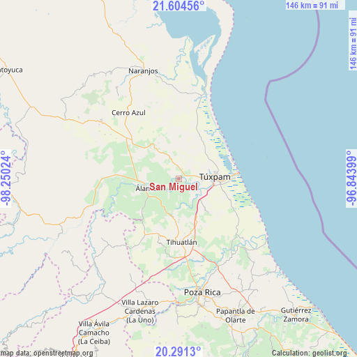
| Upper-left | 21.60456°, | -98.25024° |
| Center: | 20.94937°, | -97.54711° |
| Lower-right: | 20.2913°, | -96.84399° |
| Map W x H: | 146×146 km | = 90.7×90.7mi |
| max Lat: | 32.7° ⇑24.3% North |
| San Miguel: | 20.94937° |
| min Lat: | ⇓75.7% South 14.53588° |
| min Long | San Miguel | max Long |
| -117.105° | -97.54711° | -86.73105° |
| W 69%⇐ | ⇒31% E |
Elevation
Elevation of San Miguel is 12 m = 39 ft, and this is 1241.7 m = 4074 ft below average elevation for this country.
| Max E: |
3497 m = 11473 ft | 95.7% |
| Avg. | 1253.7 m = 4113 ft | |
| San Miguel | 12 m = 39 ft | |
Min E: |
-1 m = -3 ft | 4.3% |
See also: Mexico elevation on elevation.city.
Geographical zone
San Miguel is located in North Torrid zone (between Equator and Tropic of Cancer). Distance of this Northern Tropic circle is 276.6 km =171.9 mi to North.| Distance of | km | miles | from San Miguel |
|---|---|---|---|
| North Pole | 7677.7 | 4770.7 | to North |
| Arctic Circle | 5071.8 | 3151.5 | to North |
| Tropic Cancer | 276.6 | 171.9 | to North |
| Equator | 2329.4 | 1447.4 | to South |


Nearby cities:
15 places around San Miguel: (largest is in red/bold)
• Alto Lucero
10.9 km =6.8 mi,  87°
87°
• Buenos Aires
5 km =3.1 mi,  78°
78°
• Citlaltépetl
11.4 km =7.1 mi,  213°
213°
• Colonia México Lindo
9 km =5.6 mi, 89°
• Cruz Naranjos
11.4 km =7.1 mi, 76°
• Doctor Montes de Oca
1.9 km =1.2 mi, 209°
• Hidalgo Amajac
9.9 km =6.2 mi,  240°
240°
• Higueral
5 km =3.1 mi, 82°
• Jardín Viejo
11.7 km =7.3 mi,  248°
248°
• Kilómetro Treinta y Tres (Paso Real)
7.1 km =4.4 mi,  223°
223°
• Ojite Rancho Nuevo
3 km =1.9 mi,  41°
41°
• Raudal Nuevo
8.4 km =5.2 mi, 205°
• Tierra Blanca
12.3 km =7.6 mi,  132°
132°
• Tumbadero
3.4 km =2.1 mi, 254°
• Villa Hermosa
4.2 km =2.6 mi,  283°
283°
Sources, notices
• [Note1] Compared only with cities in Mexico existing in our database
• [Src1] Map data: © OpenStreetMap contributors (CC-BY-SA)
• [Src2] Other city data from geonames.org with taken over terms of usage.
• [Src3] Geographical zone / Annual Mean Temperature by Robert A. Rohde @ Wikipedia
