San Joaquín geodata
San Joaquín (Hidalgo) is a populated place; located in Mexico in America/Mexico_City (GMT-6) time zone. With population of 1,228 people, there are 7063 cities with bigger population in this country. Compared to other cities in Mexico, 67.9% of cities are located further ↓South; 61.2% of cities are located further →East and 71.6% of cities have lower elevation than San Joaquín. Note1


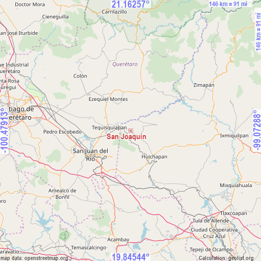
San Joaquín GPS coordinates[2]
20° 30' 19.512" North, 99° 46' 33.6" West
| Map corner | latitude | longitude |
|---|---|---|
| Upper-left | 21.16257°, | -100.47913° |
| Center: | 20.50542°, | -99.776° |
| Lower-right: | 19.84544°, | -99.07288° |
| Map W x H: | 146.5×146.5 km | = 91×91mi |
| max Lat: | 32.7° ⇑32.1% North |
| San Joaquín: | 20.50542° |
| min Lat: | ⇓67.9% South 14.53588° |
| min Long | San Joaquín | max Long |
| -117.105° | -99.776° | -86.73105° |
| W 38.8%⇐ | ⇒61.2% E |
Elevation
Elevation of San Joaquín is 1961 m = 6434 ft, and this is 707.3 m = 2321 ft above average elevation for this country.
| Max E: |
3497 m = 11473 ft | 28.4% |
| San Joaquín | 1961 m 6434 ft | |
| Avg. | 1253.7 m = 4113 ft | |
Min E: |
-1 m = -3 ft | 71.6% |
See also: Mexico elevation on elevation.city.
Geographical zone
San Joaquín is located in North Torrid zone (between Equator and Tropic of Cancer). Distance of this Northern Tropic circle is 325.9 km =202.5 mi to North.| Distance of | km | miles | from San Joaquín |
|---|---|---|---|
| North Pole | 7727.1 | 4801.4 | to North |
| Arctic Circle | 5121.2 | 3182.2 | to North |
| Tropic Cancer | 325.9 | 202.5 | to North |
| Equator | 2280 | 1416.7 | to South |


Nearby cities:
15 places around San Joaquín: (largest is in red/bold)
• Atengo
6.1 km =3.8 mi,  110°
110°
• Bomanxotha
11.4 km =7.1 mi,  84°
84°
• Bondojito
10.4 km =6.5 mi,  130°
130°
• El Cerrito
12.9 km =8 mi,  256°
256°
• Gandhó
10.2 km =6.3 mi,  64°
64°
• La Cruz
13 km =8.1 mi,  173°
173°
• La Esquina
8.5 km =5.3 mi, 56°
• La Mesilla
10.5 km =6.5 mi,  99°
99°
• Nahui Ollin [Fraccionamiento]
11.8 km =7.3 mi,  269°
269°
• Pathé
13.1 km =8.1 mi,  36°
36°
• Pañhé
8.5 km =5.3 mi, 77°
• Portezuelo
10.7 km =6.6 mi,  20°
20°
• San Antonio
7.4 km =4.6 mi,  66°
66°
• San Francisco
5.7 km =3.5 mi, 127°
• Tequisquiapan
12.2 km =7.6 mi,  278°
278°
Sources, notices
• [Note1] Compared only with cities in Mexico existing in our database
• [Src1] Map data: © OpenStreetMap contributors (CC-BY-SA)
• [Src2] Other city data from geonames.org with taken over terms of usage.
• [Src3] Geographical zone / Annual Mean Temperature by Robert A. Rohde @ Wikipedia
