Limonta geodata
Limonta (Veracruz) is a populated place; located in Mexico in America/Mexico_City (GMT-6) time zone. With population of 669 people, there are 12968 cities with bigger population in this country. Compared to other cities in Mexico, 79.7% of cities are located further ↑North; 85.3% of cities are located further ←West and 97.5% of cities have higher elevation than Limonta. Note1


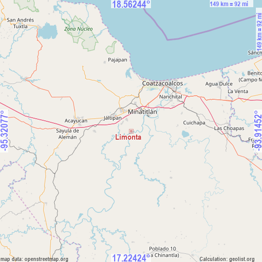
Limonta GPS coordinates[2]
17° 53' 40.56" North, 94° 37' 3.504" West
| Map corner | latitude | longitude |
|---|---|---|
| Upper-left | 18.56244°, | -95.32077° |
| Center: | 17.8946°, | -94.61764° |
| Lower-right: | 17.22424°, | -93.91452° |
| Map W x H: | 148.8×148.8 km | = 92.5×92.5mi |
| max Lat: | 32.7° ⇑79.7% North |
| Limonta: | 17.8946° |
| min Lat: | ⇓20.3% South 14.53588° |
| min Long | Limonta | max Long |
| -117.105° | -94.61764° | -86.73105° |
| W 85.3%⇐ | ⇒14.7% E |
Elevation
Elevation of Limonta is 9 m = 30 ft, and this is 1244.7 m = 4084 ft below average elevation for this country.
| Max E: |
3497 m = 11473 ft | 97.5% |
| Avg. | 1253.7 m = 4113 ft | |
| Limonta | 9 m = 30 ft | |
Min E: |
-1 m = -3 ft | 2.5% |
See also: Mexico elevation on elevation.city.
Geographical zone
Limonta is located in North Torrid zone (between Equator and Tropic of Cancer). Distance of this Northern Tropic circle is 616.2 km =382.9 mi to North.| Distance of | km | miles | from Limonta |
|---|---|---|---|
| North Pole | 8017.4 | 4981.8 | to North |
| Arctic Circle | 5411.5 | 3362.5 | to North |
| Tropic Cancer | 616.2 | 382.9 | to North |
| Equator | 1989.7 | 1236.3 | to South |


Nearby cities:
15 places around Limonta: (largest is in red/bold)
• Coacotla
7 km =4.3 mi,  311°
311°
• Colonia Luis Donaldo Colosio
11 km =6.8 mi,  3°
3°
• Cosoleacaque
11.8 km =7.3 mi,  350°
350°
• El Jagüey
9.7 km =6 mi,  34°
34°
• El Naranjito
11.5 km =7.1 mi,  5°
5°
• Emilio Carranza (Salinas)
11.8 km =7.3 mi,  147°
147°
• Fraccionamiento los Prados
9.5 km =5.9 mi, 346°
• La Victoria
4.2 km =2.6 mi,  213°
213°
• Las Jacarandas
12.1 km =7.5 mi, 3°
• Las Lomas
8.7 km =5.4 mi,  43°
43°
• Las Lomas de Tacamichapan
10.1 km =6.3 mi,  251°
251°
• Las Ánimas
5.7 km =3.5 mi,  66°
66°
• Monte Alto
1 km =0.6 mi,  292°
292°
• San Pedro Mártir
9.4 km =5.8 mi, 4°
• Zaragoza
7.5 km =4.7 mi,  339°
339°
Sources, notices
• [Note1] Compared only with cities in Mexico existing in our database
• [Src1] Map data: © OpenStreetMap contributors (CC-BY-SA)
• [Src2] Other city data from geonames.org with taken over terms of usage.
• [Src3] Geographical zone / Annual Mean Temperature by Robert A. Rohde @ Wikipedia
