Jareros geodata
Jareros (Veracruz) is a populated place; located in Mexico in America/Mexico_City (GMT-6) time zone. With population of 696 people, there are 12503 cities with bigger population in this country. Compared to other cities in Mexico, 55.1% of cities are located further ↑North; 79.8% of cities are located further ←West and 82.1% of cities have higher elevation than Jareros. Note1


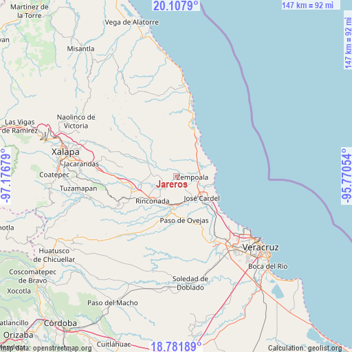
Jareros GPS coordinates[2]
19° 26' 46.5" North, 96° 28' 25.176" West
| Map corner | latitude | longitude |
|---|---|---|
| Upper-left | 20.1079°, | -97.17679° |
| Center: | 19.44625°, | -96.47366° |
| Lower-right: | 18.78189°, | -95.77054° |
| Map W x H: | 147.4×147.4 km | = 91.6×91.6mi |
| max Lat: | 32.7° ⇑55.1% North |
| Jareros: | 19.44625° |
| min Lat: | ⇓44.9% South 14.53588° |
| min Long | Jareros | max Long |
| -117.105° | -96.47366° | -86.73105° |
| W 79.8%⇐ | ⇒20.2% E |
Elevation
Elevation of Jareros is 69 m = 226 ft, and this is 1184.7 m = 3887 ft below average elevation for this country.
| Max E: |
3497 m = 11473 ft | 82.1% |
| Avg. | 1253.7 m = 4113 ft | |
| Jareros | 69 m = 226 ft | |
Min E: |
-1 m = -3 ft | 17.9% |
See also: Mexico elevation on elevation.city.
Geographical zone
Jareros is located in North Torrid zone (between Equator and Tropic of Cancer). Distance of this Northern Tropic circle is 443.7 km =275.7 mi to North.| Distance of | km | miles | from Jareros |
|---|---|---|---|
| North Pole | 7844.8 | 4874.5 | to North |
| Arctic Circle | 5239 | 3255.4 | to North |
| Tropic Cancer | 443.7 | 275.7 | to North |
| Equator | 2162.2 | 1343.5 | to South |


Nearby cities:
15 places around Jareros: (largest is in red/bold)
• Buena Vista
10.1 km =6.3 mi,  241°
241°
• El Arenal
10.6 km =6.6 mi,  102°
102°
• El Palmar
7.8 km =4.8 mi,  144°
144°
• El Zapotito
3.8 km =2.4 mi,  86°
86°
• Hornitos
5.7 km =3.5 mi,  73°
73°
• Infonavit el Pando I
10.8 km =6.7 mi,  118°
118°
• José Guadalupe Rodríguez (Despoblado)
6.7 km =4.2 mi,  113°
113°
• La Esperanza
9.8 km =6.1 mi,  291°
291°
• La Gloria
7.8 km =4.8 mi, 106°
• Los Ídolos
6 km =3.7 mi,  230°
230°
• Mozomboa
6.5 km =4 mi,  356°
356°
• Real del Oro
7.2 km =4.5 mi, 110°
• San Isidro
10.7 km =6.6 mi, 67°
• Santa Rosa
2.9 km =1.8 mi,  18°
18°
• Villa Zempoala
6.9 km =4.3 mi, 91°
Sources, notices
• [Note1] Compared only with cities in Mexico existing in our database
• [Src1] Map data: © OpenStreetMap contributors (CC-BY-SA)
• [Src2] Other city data from geonames.org with taken over terms of usage.
• [Src3] Geographical zone / Annual Mean Temperature by Robert A. Rohde @ Wikipedia
