Oyama geodata
Oyama (Tamaulipas) is a populated place; located in Mexico in America/Monterrey (GMT-6) time zone. With population of 883 people, there are 9888 cities with bigger population in this country. Compared to other cities in Mexico, 90.3% of cities are located further ↓South; 53.8% of cities are located further →East and 74.4% of cities have higher elevation than Oyama. Note1


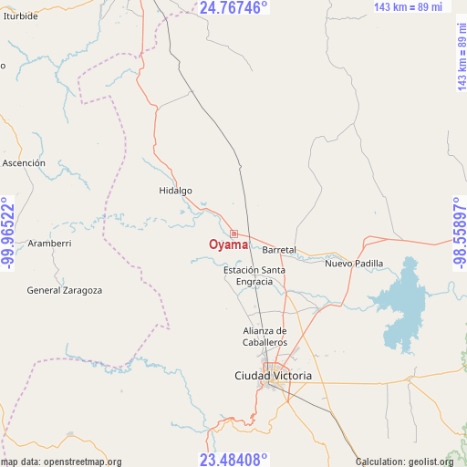
Oyama GPS coordinates[2]
24° 7' 38.568" North, 99° 15' 43.524" West
| Map corner | latitude | longitude |
|---|---|---|
| Upper-left | 24.76746°, | -99.96522° |
| Center: | 24.12738°, | -99.26209° |
| Lower-right: | 23.48408°, | -98.55897° |
| Map W x H: | 142.7×142.7 km | = 88.7×88.7mi |
| max Lat: | 32.7° ⇑9.7% North |
| Oyama: | 24.12738° |
| min Lat: | ⇓90.3% South 14.53588° |
| min Long | Oyama | max Long |
| -117.105° | -99.26209° | -86.73105° |
| W 46.2%⇐ | ⇒53.8% E |
Elevation
Elevation of Oyama is 241 m = 791 ft, and this is 1012.7 m = 3323 ft below average elevation for this country.
| Max E: |
3497 m = 11473 ft | 74.4% |
| Avg. | 1253.7 m = 4113 ft | |
| Oyama | 241 m = 791 ft | |
Min E: |
-1 m = -3 ft | 25.6% |
See also: Mexico elevation on elevation.city.
Geographical zone
Oyama is located in North temperate zone (between Tropic of Cancer and the Arctic Circle). Distance of this Northern Tropic circle is 76.8 km =47.7 mi to South.| Distance of | km | miles | from Oyama |
|---|---|---|---|
| North Pole | 7324.3 | 4551.1 | to North |
| Arctic Circle | 4718.5 | 2931.9 | to North |
| Tropic Cancer | 76.8 | 47.7 | to South |
| Equator | 2682.7 | 1667 | to South |


Nearby cities:
15 places around Oyama: (largest is in red/bold)
• Balconcitos (Balcones)
14.3 km =8.9 mi,  154°
154°
• Barretal
14.7 km =9.1 mi,  109°
109°
• Congregación Caballeros
30.9 km =19.2 mi,  162°
162°
• Cruz y Cruz
8.2 km =5.1 mi, 113°
• El Barranco Azul
33.7 km =20.9 mi,  26°
26°
• Estación Santa Engracia
13.9 km =8.6 mi, 153°
• Guadalupe Victoria
13.4 km =8.3 mi,  115°
115°
• Guemes
34.9 km =21.7 mi,  131°
131°
• Guillermo Zúñiga
13.9 km =8.6 mi, 153°
• Hidalgo
22.4 km =13.9 mi,  306°
306°
• Juan Rincón
23.1 km =14.4 mi, 163°
• La Soledad
19.3 km =12 mi, 105°
• Plan de Ayala
16.7 km =10.4 mi, 120°
• San Cayetano
29.6 km =18.4 mi, 145°
• San José de la Flores
29 km =18 mi, 149°
Sources, notices
• [Note1] Compared only with cities in Mexico existing in our database
• [Src1] Map data: © OpenStreetMap contributors (CC-BY-SA)
• [Src2] Other city data from geonames.org with taken over terms of usage.
• [Src3] Geographical zone / Annual Mean Temperature by Robert A. Rohde @ Wikipedia
