El Higo geodata
El Higo (Veracruz) is a seat of a second-order administrative division; located in Mexico in America/Mexico_City (GMT-6) time zone. With population of 8,459 people, there are 1124 cities with bigger population in this country. Compared to other cities in Mexico, 82.8% of cities are located further ↓South; 57.9% of cities are located further ←West and 87% of cities have higher elevation than El Higo. Note1


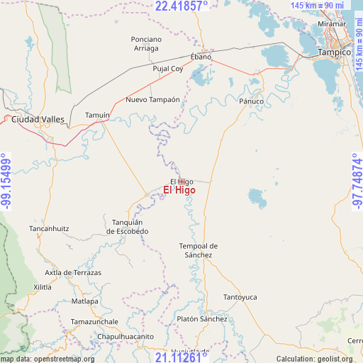
El Higo GPS coordinates[2]
21° 46' 1.488" North, 98° 27' 6.696" West
| Map corner | latitude | longitude |
|---|---|---|
| Upper-left | 22.41857°, | -99.15499° |
| Center: | 21.76708°, | -98.45186° |
| Lower-right: | 21.11261°, | -97.74874° |
| Map W x H: | 145.2×145.2 km | = 90.2×90.2mi |
| max Lat: | 32.7° ⇑17.2% North |
| El Higo: | 21.76708° |
| min Lat: | ⇓82.8% South 14.53588° |
| min Long | El Higo | max Long |
| -117.105° | -98.45186° | -86.73105° |
| W 57.9%⇐ | ⇒42.1% E |
Elevation
Elevation of El Higo is 34 m = 112 ft, and this is 1219.7 m = 4002 ft below average elevation for this country.
| Max E: |
3497 m = 11473 ft | 87% |
| Avg. | 1253.7 m = 4113 ft | |
| El Higo | 34 m = 112 ft | |
Min E: |
-1 m = -3 ft | 13% |
See also: Mexico elevation on elevation.city.
Geographical zone
El Higo is located in North Torrid zone (between Equator and Tropic of Cancer). Distance of this Northern Tropic circle is 185.6 km =115.3 mi to North.| Distance of | km | miles | from El Higo |
|---|---|---|---|
| North Pole | 7586.8 | 4714.2 | to North |
| Arctic Circle | 4980.9 | 3095 | to North |
| Tropic Cancer | 185.6 | 115.3 | to North |
| Equator | 2420.3 | 1503.9 | to South |


Nearby cities:
15 places around El Higo: (largest is in red/bold)
• Bellavista
8.1 km =5 mi,  194°
194°
• Cuve de Badeas
6 km =3.7 mi,  130°
130°
• Ejido Rancho Alegre
11.6 km =7.2 mi,  117°
117°
• El Chote
5.3 km =3.3 mi,  342°
342°
• El Hoxton
8.4 km =5.2 mi,  226°
226°
• El Hule Nuevo
18.1 km =11.2 mi,  216°
216°
• El Molino
22.9 km =14.2 mi,  43°
43°
• El Pueblito
3.7 km =2.3 mi,  351°
351°
• El Sasub
9.5 km =5.9 mi,  251°
251°
• El Álamo
11.2 km =7 mi, 251°
• Las Badeas
5 km =3.1 mi, 125°
• Potrero Horcón
24.6 km =15.3 mi,  136°
136°
• Sagrada Familia
24.9 km =15.5 mi,  240°
240°
• San Vicente Tancuayalab
15 km =9.3 mi, 249°
• Santa Elena
25.3 km =15.7 mi, 249°
Sources, notices
• [Note1] Compared only with cities in Mexico existing in our database
• [Src1] Map data: © OpenStreetMap contributors (CC-BY-SA)
• [Src2] Other city data from geonames.org with taken over terms of usage.
• [Src3] Geographical zone / Annual Mean Temperature by Robert A. Rohde @ Wikipedia
