El Chote geodata
El Chote (Veracruz) is a populated place; located in Mexico in America/Mexico_City (GMT-6) time zone. With population of 537 people, there are 15796 cities with bigger population in this country. Compared to other cities in Mexico, 83% of cities are located further ↓South; 57.7% of cities are located further ←West and 87.7% of cities have higher elevation than El Chote. Note1


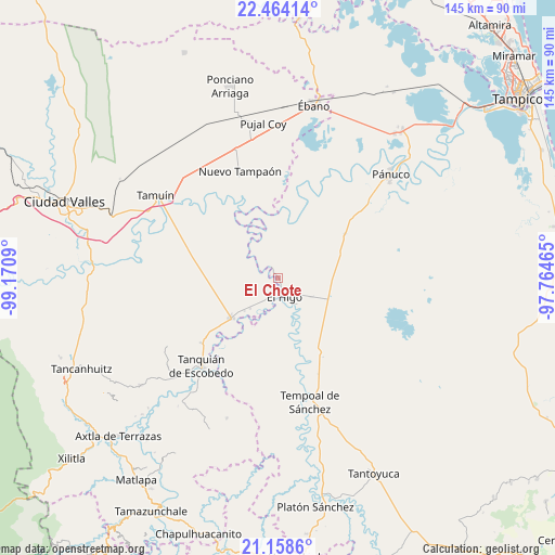
El Chote GPS coordinates[2]
21° 48' 46.296" North, 98° 28' 3.972" West
| Map corner | latitude | longitude |
|---|---|---|
| Upper-left | 22.46414°, | -99.1709° |
| Center: | 21.81286°, | -98.46777° |
| Lower-right: | 21.1586°, | -97.76465° |
| Map W x H: | 145.2×145.2 km | = 90.2×90.2mi |
| max Lat: | 32.7° ⇑17% North |
| El Chote: | 21.81286° |
| min Lat: | ⇓83% South 14.53588° |
| min Long | El Chote | max Long |
| -117.105° | -98.46777° | -86.73105° |
| W 57.7%⇐ | ⇒42.3% E |
Elevation
Elevation of El Chote is 31 m = 102 ft, and this is 1222.7 m = 4011 ft below average elevation for this country.
| Max E: |
3497 m = 11473 ft | 87.7% |
| Avg. | 1253.7 m = 4113 ft | |
| El Chote | 31 m = 102 ft | |
Min E: |
-1 m = -3 ft | 12.3% |
See also: Mexico elevation on elevation.city.
Geographical zone
El Chote is located in North Torrid zone (between Equator and Tropic of Cancer). Distance of this Northern Tropic circle is 180.6 km =112.2 mi to North.| Distance of | km | miles | from El Chote |
|---|---|---|---|
| North Pole | 7581.7 | 4711 | to North |
| Arctic Circle | 4975.8 | 3091.8 | to North |
| Tropic Cancer | 180.6 | 112.2 | to North |
| Equator | 2425.4 | 1507.1 | to South |


Nearby cities:
15 places around El Chote: (largest is in red/bold)
• Bellavista
13 km =8.1 mi,  181°
181°
• Cuve de Badeas
11 km =6.8 mi,  145°
145°
• Ejido Rancho Alegre
15.9 km =9.9 mi,  131°
131°
• Ejido la Reforma
22.8 km =14.2 mi,  0°
0°
• El Higo
5.3 km =3.3 mi,  162°
162°
• El Hoxton
11.8 km =7.3 mi,  202°
202°
• El Hule Nuevo
21.7 km =13.5 mi, 204°
• El Molino
20.9 km =13 mi,  56°
56°
• El Pueblito
1.8 km =1.1 mi,  142°
142°
• El Sasub
11 km =6.8 mi,  222°
222°
• El Álamo
12.5 km =7.8 mi,  225°
225°
• Las Badeas
9.8 km =6.1 mi, 144°
• Nuevo Ahuacatitla
22.6 km =14 mi,  303°
303°
• Plan de Iguala
24.9 km =15.5 mi, 0°
• San Vicente Tancuayalab
16.2 km =10.1 mi, 229°
Sources, notices
• [Note1] Compared only with cities in Mexico existing in our database
• [Src1] Map data: © OpenStreetMap contributors (CC-BY-SA)
• [Src2] Other city data from geonames.org with taken over terms of usage.
• [Src3] Geographical zone / Annual Mean Temperature by Robert A. Rohde @ Wikipedia
