Bangandhó geodata
Bangandhó (Hidalgo) is a populated place; located in Mexico in America/Mexico_City (GMT-6) time zone. With population of 1,027 people, there are 8485 cities with bigger population in this country. Compared to other cities in Mexico, 67.4% of cities are located further ↓South; 51.8% of cities are located further →East and 63.7% of cities have lower elevation than Bangandhó. Note1


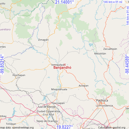
Bangandhó GPS coordinates[2]
20° 28' 57.972" North, 99° 8' 56.436" West
| Map corner | latitude | longitude |
|---|---|---|
| Upper-left | 21.14001°, | -99.85214° |
| Center: | 20.48277°, | -99.14901° |
| Lower-right: | 19.8227°, | -98.44589° |
| Map W x H: | 146.5×146.5 km | = 91×91mi |
| max Lat: | 32.7° ⇑32.6% North |
| Bangandhó: | 20.48277° |
| min Lat: | ⇓67.4% South 14.53588° |
| min Long | Bangandhó | max Long |
| -117.105° | -99.14901° | -86.73105° |
| W 48.2%⇐ | ⇒51.8% E |
Elevation
Elevation of Bangandhó is 1795 m = 5889 ft, and this is 541.3 m = 1776 ft above average elevation for this country.
| Max E: |
3497 m = 11473 ft | 36.3% |
| Bangandhó | 1795 m 5889 ft | |
| Avg. | 1253.7 m = 4113 ft | |
Min E: |
-1 m = -3 ft | 63.7% |
See also: Mexico elevation on elevation.city.
Geographical zone
Bangandhó is located in North Torrid zone (between Equator and Tropic of Cancer). Distance of this Northern Tropic circle is 328.4 km =204.1 mi to North.| Distance of | km | miles | from Bangandhó |
|---|---|---|---|
| North Pole | 7729.6 | 4802.9 | to North |
| Arctic Circle | 5123.7 | 3183.7 | to North |
| Tropic Cancer | 328.4 | 204.1 | to North |
| Equator | 2277.5 | 1415.2 | to South |


Nearby cities:
15 places around Bangandhó: (largest is in red/bold)
• Arenalito Remedios
4.1 km =2.5 mi,  310°
310°
• Capula
3.1 km =1.9 mi,  22°
22°
• Colonia General Felipe Ángeles
5.1 km =3.2 mi,  289°
289°
• Colonia el Mirador
2 km =1.2 mi,  321°
321°
• Colonia la Libertad
4.5 km =2.8 mi, 294°
• Dios Padre
5.8 km =3.6 mi,  249°
249°
• El Barrido
5.7 km =3.5 mi,  230°
230°
• El Carrizal
6.1 km =3.8 mi, 287°
• El Nith
4.5 km =2.8 mi,  277°
277°
• El Tephé
4.7 km =2.9 mi,  215°
215°
• La Estación
2.3 km =1.4 mi, 311°
• Maguey Blanco
6.9 km =4.3 mi,  198°
198°
• Pueblo Nuevo
3.6 km =2.2 mi,  210°
210°
• San Pedro Capula
3.5 km =2.2 mi,  345°
345°
• Taxadho
5.5 km =3.4 mi,  180°
180°
Sources, notices
• [Note1] Compared only with cities in Mexico existing in our database
• [Src1] Map data: © OpenStreetMap contributors (CC-BY-SA)
• [Src2] Other city data from geonames.org with taken over terms of usage.
• [Src3] Geographical zone / Annual Mean Temperature by Robert A. Rohde @ Wikipedia
