Yalchitom geodata
Yalchitom (Chiapas) is a populated place; located in Mexico in America/Mexico_City (GMT-6) time zone. With population of 787 people, there are 11101 cities with bigger population in this country. Compared to other cities in Mexico, 91.5% of cities are located further ↑North; 89.8% of cities are located further ←West and 61.3% of cities have lower elevation than Yalchitom. Note1


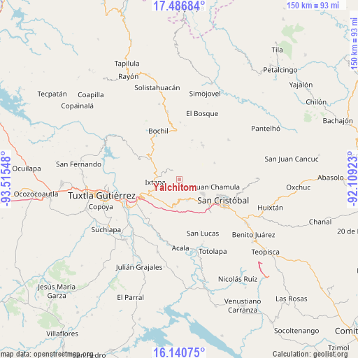
Yalchitom GPS coordinates[2]
16° 48' 53.964" North, 92° 48' 44.46" West
| Map corner | latitude | longitude |
|---|---|---|
| Upper-left | 17.48684°, | -93.51548° |
| Center: | 16.81499°, | -92.81235° |
| Lower-right: | 16.14075°, | -92.10923° |
| Map W x H: | 149.7×149.7 km | = 93×93mi |
| max Lat: | 32.7° ⇑91.5% North |
| Yalchitom: | 16.81499° |
| min Lat: | ⇓8.5% South 14.53588° |
| min Long | Yalchitom | max Long |
| -117.105° | -92.81235° | -86.73105° |
| W 89.8%⇐ | ⇒10.2% E |
Elevation
Elevation of Yalchitom is 1748 m = 5735 ft, and this is 494.3 m = 1622 ft above average elevation for this country.
| Max E: |
3497 m = 11473 ft | 38.7% |
| Yalchitom | 1748 m 5735 ft | |
| Avg. | 1253.7 m = 4113 ft | |
Min E: |
-1 m = -3 ft | 61.3% |
See also: Mexico elevation on elevation.city.
Geographical zone
Yalchitom is located in North Torrid zone (between Equator and Tropic of Cancer). Distance of this Northern Tropic circle is 736.3 km =457.5 mi to North.| Distance of | km | miles | from Yalchitom |
|---|---|---|---|
| North Pole | 8137.4 | 5056.3 | to North |
| Arctic Circle | 5531.5 | 3437.1 | to North |
| Tropic Cancer | 736.3 | 457.5 | to North |
| Equator | 1869.7 | 1161.8 | to South |


Nearby cities:
15 places around Yalchitom: (largest is in red/bold)
• Bautista Grande
9.1 km =5.7 mi,  102°
102°
• Cacaté
4.1 km =2.5 mi,  324°
324°
• Catishtic
8.8 km =5.5 mi,  115°
115°
• Chigtón
7.2 km =4.5 mi,  296°
296°
• Francisco Javier Mina
5.7 km =3.5 mi,  275°
275°
• Muctahuitz
8.5 km =5.3 mi,  44°
44°
• Nachauc
4.8 km =3 mi,  19°
19°
• Noctic
5.2 km =3.2 mi,  110°
110°
• Pugchén Chico
2.7 km =1.7 mi,  4°
4°
• Pugchén Mumuntic
5.6 km =3.5 mi,  347°
347°
• Santa Ana
8.1 km =5 mi, 96°
• Seteltón
9.2 km =5.7 mi,  91°
91°
• Ukumtic
9.1 km =5.7 mi, 107°
• Yaaltz'Unun
4.3 km =2.7 mi, 102°
• Yaltem
4 km =2.5 mi, 35°
Sources, notices
• [Note1] Compared only with cities in Mexico existing in our database
• [Src1] Map data: © OpenStreetMap contributors (CC-BY-SA)
• [Src2] Other city data from geonames.org with taken over terms of usage.
• [Src3] Geographical zone / Annual Mean Temperature by Robert A. Rohde @ Wikipedia
