Tzontehuitz geodata
Tzontehuitz (Chiapas) is a populated place; located in Mexico in America/Mexico_City (GMT-6) time zone. With population of 1,004 people, there are 8677 cities with bigger population in this country. Compared to other cities in Mexico, 91.3% of cities are located further ↑North; 91.2% of cities are located further ←West and 94.2% of cities have lower elevation than Tzontehuitz. Note1


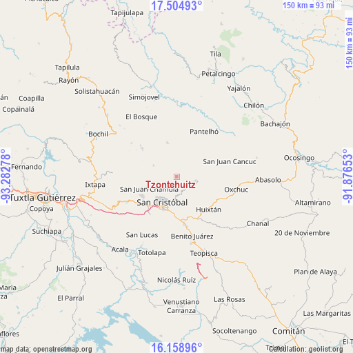
Tzontehuitz GPS coordinates[2]
16° 49' 59.304" North, 92° 34' 46.74" West
| Map corner | latitude | longitude |
|---|---|---|
| Upper-left | 17.50493°, | -93.28278° |
| Center: | 16.83314°, | -92.57965° |
| Lower-right: | 16.15896°, | -91.87653° |
| Map W x H: | 149.7×149.7 km | = 93×93mi |
| max Lat: | 32.7° ⇑91.3% North |
| Tzontehuitz: | 16.83314° |
| min Lat: | ⇓8.7% South 14.53588° |
| min Long | Tzontehuitz | max Long |
| -117.105° | -92.57965° | -86.73105° |
| W 91.2%⇐ | ⇒8.8% E |
Elevation
Elevation of Tzontehuitz is 2578 m = 8458 ft, and this is 1324.3 m = 4345 ft above average elevation for this country.
| Max E: |
3497 m = 11473 ft | 5.8% |
| Tzontehuitz | 2578 m 8458 ft | |
| Avg. | 1253.7 m = 4113 ft | |
Min E: |
-1 m = -3 ft | 94.2% |
See also: Mexico elevation on elevation.city.
Geographical zone
Tzontehuitz is located in North Torrid zone (between Equator and Tropic of Cancer). Distance of this Northern Tropic circle is 734.2 km =456.2 mi to North.| Distance of | km | miles | from Tzontehuitz |
|---|---|---|---|
| North Pole | 8135.4 | 5055.1 | to North |
| Arctic Circle | 5529.5 | 3435.9 | to North |
| Tropic Cancer | 734.2 | 456.2 | to North |
| Equator | 1871.7 | 1163 | to South |


Nearby cities:
15 places around Tzontehuitz: (largest is in red/bold)
• Chicumtantic
4.5 km =2.8 mi,  322°
322°
• Chilimjoveltic
5 km =3.1 mi,  179°
179°
• Chiotic
5.1 km =3.2 mi,  288°
288°
• Cuchumtón
4.4 km =2.7 mi,  352°
352°
• El Crucero
3.9 km =2.4 mi,  158°
158°
• El Pozo
2.2 km =1.4 mi,  21°
21°
• Kotolte
3.2 km =2 mi,  123°
123°
• Muquén
4.4 km =2.7 mi,  227°
227°
• Oxinam
4.6 km =2.9 mi,  44°
44°
• Pajaltón Alto
0.9 km =0.6 mi, 119°
• Pajaltón Bajo
3 km =1.9 mi,  77°
77°
• Sactzu
5.1 km =3.2 mi,  216°
216°
• Suyalhó
5.2 km =3.2 mi,  3°
3°
• Titaltetic
5.1 km =3.2 mi,  29°
29°
• Yolonan
4 km =2.5 mi,  264°
264°
Sources, notices
• [Note1] Compared only with cities in Mexico existing in our database
• [Src1] Map data: © OpenStreetMap contributors (CC-BY-SA)
• [Src2] Other city data from geonames.org with taken over terms of usage.
• [Src3] Geographical zone / Annual Mean Temperature by Robert A. Rohde @ Wikipedia
