San Juanico Sector Dos geodata
San Juanico Sector Dos (State of Mexico) is a populated place; located in Mexico in America/Mexico_City (GMT-6) time zone. With population of 542 people, there are 15673 cities with bigger population in this country. Compared to other cities in Mexico, 55.8% of cities are located further ↓South; 61.3% of cities are located further →East and 96.3% of cities have lower elevation than San Juanico Sector Dos. Note1


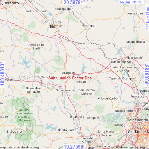
San Juanico Sector Dos GPS coordinates[2]
19° 56' 17.988" North, 99° 47' 6" West
| Map corner | latitude | longitude |
|---|---|---|
| Upper-left | 20.59791°, | -100.48813° |
| Center: | 19.93833°, | -99.785° |
| Lower-right: | 19.27598°, | -99.08188° |
| Map W x H: | 147×147 km | = 91.3×91.3mi |
| max Lat: | 32.7° ⇑44.2% North |
| San Juanico Sector Dos: | 19.93833° |
| min Lat: | ⇓55.8% South 14.53588° |
| min Long | San Juanico Sec | max Long |
| -117.105° | -99.785° | -86.73105° |
| W 38.7%⇐ | ⇒61.3% E |
Elevation
Elevation of San Juanico Sector Dos is 2637 m = 8652 ft, and this is 1383.3 m = 4538 ft above average elevation for this country.
| Max E: |
3497 m = 11473 ft | 3.7% |
| San Juanico Sector Dos | 2637 m 8652 ft | |
| Avg. | 1253.7 m = 4113 ft | |
Min E: |
-1 m = -3 ft | 96.3% |
See also: Mexico elevation on elevation.city.
Geographical zone
San Juanico Sector Dos is located in North Torrid zone (between Equator and Tropic of Cancer). Distance of this Northern Tropic circle is 389 km =241.7 mi to North.| Distance of | km | miles | from San Juanico Sector Dos |
|---|---|---|---|
| North Pole | 7790.1 | 4840.5 | to North |
| Arctic Circle | 5184.2 | 3221.3 | to North |
| Tropic Cancer | 389 | 241.7 | to North |
| Equator | 2216.9 | 1377.5 | to South |


Nearby cities:
15 places around San Juanico Sector Dos: (largest is in red/bold)
• Acambay
6.5 km =4 mi,  286°
286°
• Barrio Iturbide (La Campesina)
6.9 km =4.3 mi,  134°
134°
• Barrio de Ocampo
7.6 km =4.7 mi,  154°
154°
• Boshindó
6.2 km =3.9 mi,  249°
249°
• Botidi
6.8 km =4.2 mi,  297°
297°
• Buenavista
7.9 km =4.9 mi,  350°
350°
• Endeje
6 km =3.7 mi, 294°
• La Caridad
5.5 km =3.4 mi,  280°
280°
• La Estancia Sector Uno (La Estancia)
7.6 km =4.7 mi,  185°
185°
• La Venta (Barrio la Venta)
1.9 km =1.2 mi, 152°
• Las Arenas (San Agustín)
8.2 km =5.1 mi,  44°
44°
• Pathé
5.8 km =3.6 mi,  257°
257°
• San Ildefonso (San Ildefonso Yolotepec)
5.5 km =3.4 mi,  268°
268°
• San Juanico Sector Uno
1.8 km =1.1 mi,  103°
103°
• Tercera Manzana de Zaragoza
5.8 km =3.6 mi,  144°
144°
Sources, notices
• [Note1] Compared only with cities in Mexico existing in our database
• [Src1] Map data: © OpenStreetMap contributors (CC-BY-SA)
• [Src2] Other city data from geonames.org with taken over terms of usage.
• [Src3] Geographical zone / Annual Mean Temperature by Robert A. Rohde @ Wikipedia
