San Antonio geodata
San Antonio (San Luis Potosí) is a populated place; located in Mexico in America/Mexico_City (GMT-6) time zone. With population of 940 people, there are 9266 cities with bigger population in this country. Compared to other cities in Mexico, 84.5% of cities are located further ↓South; 74.8% of cities are located further →East and 84% of cities have lower elevation than San Antonio. Note1


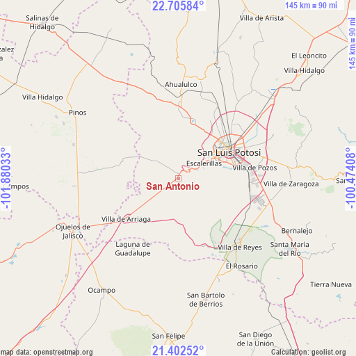
San Antonio GPS coordinates[2]
22° 3' 20.448" North, 101° 10' 37.92" West
| Map corner | latitude | longitude |
|---|---|---|
| Upper-left | 22.70584°, | -101.88033° |
| Center: | 22.05568°, | -101.1772° |
| Lower-right: | 21.40252°, | -100.47408° |
| Map W x H: | 144.9×144.9 km | = 90×90mi |
| max Lat: | 32.7° ⇑15.5% North |
| San Antonio: | 22.05568° |
| min Lat: | ⇓84.5% South 14.53588° |
| min Long | San Antonio | max Long |
| -117.105° | -101.1772° | -86.73105° |
| W 25.2%⇐ | ⇒74.8% E |
Elevation
Elevation of San Antonio is 2243 m = 7359 ft, and this is 989.3 m = 3246 ft above average elevation for this country.
| Max E: |
3497 m = 11473 ft | 16% |
| San Antonio | 2243 m 7359 ft | |
| Avg. | 1253.7 m = 4113 ft | |
Min E: |
-1 m = -3 ft | 84% |
See also: Mexico elevation on elevation.city.
Geographical zone
San Antonio is located in North Torrid zone (between Equator and Tropic of Cancer). Distance of this Northern Tropic circle is 153.6 km =95.4 mi to North.| Distance of | km | miles | from San Antonio |
|---|---|---|---|
| North Pole | 7554.7 | 4694.3 | to North |
| Arctic Circle | 4948.8 | 3075 | to North |
| Tropic Cancer | 153.6 | 95.4 | to North |
| Equator | 2452.4 | 1523.9 | to South |


Nearby cities:
15 places around San Antonio: (largest is in red/bold)
• Capulines
18.7 km =11.6 mi,  44°
44°
• Colonia Emiliano Zapata
15.7 km =9.8 mi,  214°
214°
• Colonia Insurgentes
14.9 km =9.3 mi,  61°
61°
• El Jaralito
20.8 km =12.9 mi, 39°
• El Tepetate
8.2 km =5.1 mi,  234°
234°
• Escalerillas
12.4 km =7.7 mi, 59°
• Guadalupe Victoria
16.3 km =10.1 mi, 42°
• La Loma
21.9 km =13.6 mi, 36°
• La Mesa de los Conejos
13.8 km =8.6 mi,  67°
67°
• La Tapona
19.6 km =12.2 mi,  345°
345°
• Paso Blanco
20 km =12.4 mi,  33°
33°
• Pozuelos
7.4 km =4.6 mi, 59°
• San Francisco
6.6 km =4.1 mi,  163°
163°
• San Luis Gonzaga
12 km =7.5 mi,  276°
276°
• Suspiro Picacho
19.7 km =12.2 mi, 28°
Sources, notices
• [Note1] Compared only with cities in Mexico existing in our database
• [Src1] Map data: © OpenStreetMap contributors (CC-BY-SA)
• [Src2] Other city data from geonames.org with taken over terms of usage.
• [Src3] Geographical zone / Annual Mean Temperature by Robert A. Rohde @ Wikipedia
