Morados geodata
Morados (San Luis Potosí) is a populated place; located in Mexico in America/Mexico_City (GMT-6) time zone. With population of 754 people, there are 11619 cities with bigger population in this country. Compared to other cities in Mexico, 87.3% of cities are located further ↓South; 74.4% of cities are located further →East and 64.9% of cities have lower elevation than Morados. Note1


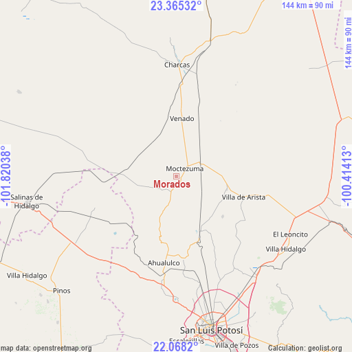
Morados GPS coordinates[2]
22° 43' 5.88" North, 101° 7' 2.1" West
| Map corner | latitude | longitude |
|---|---|---|
| Upper-left | 23.36532°, | -101.82038° |
| Center: | 22.7183°, | -101.11725° |
| Lower-right: | 22.0682°, | -100.41413° |
| Map W x H: | 144.2×144.2 km | = 89.6×89.6mi |
| max Lat: | 32.7° ⇑12.7% North |
| Morados: | 22.7183° |
| min Lat: | ⇓87.3% South 14.53588° |
| min Long | Morados | max Long |
| -117.105° | -101.11725° | -86.73105° |
| W 25.6%⇐ | ⇒74.4% E |
Elevation
Elevation of Morados is 1827 m = 5994 ft, and this is 573.3 m = 1881 ft above average elevation for this country.
| Max E: |
3497 m = 11473 ft | 35.1% |
| Morados | 1827 m 5994 ft | |
| Avg. | 1253.7 m = 4113 ft | |
Min E: |
-1 m = -3 ft | 64.9% |
See also: Mexico elevation on elevation.city.
Geographical zone
Morados is located in North Torrid zone (between Equator and Tropic of Cancer). Distance of this Northern Tropic circle is 79.9 km =49.6 mi to North.| Distance of | km | miles | from Morados |
|---|---|---|---|
| North Pole | 7481 | 4648.5 | to North |
| Arctic Circle | 4875.1 | 3029.2 | to North |
| Tropic Cancer | 79.9 | 49.6 | to North |
| Equator | 2526 | 1569.6 | to South |


Nearby cities:
15 places around Morados: (largest is in red/bold)
• Bocas
24.3 km =15.1 mi,  156°
156°
• Cerrito de Rojas
31.5 km =19.6 mi,  193°
193°
• Cerrito de Zavala
24.8 km =15.4 mi,  144°
144°
• Derramaderos
25.1 km =15.6 mi,  130°
130°
• El Zapote (Cerrito Blanco)
28.8 km =17.9 mi,  179°
179°
• González
21.3 km =13.2 mi,  117°
117°
• La Manta
15.1 km =9.4 mi, 133°
• La Melada
31 km =19.3 mi,  150°
150°
• Moctezuma
4.9 km =3 mi,  47°
47°
• Polocote de Arriba
26.8 km =16.7 mi,  356°
356°
• San José del Arbolito
28.3 km =17.6 mi,  98°
98°
• Santa Gertrudis
24.3 km =15.1 mi,  237°
237°
• Santa Rita
26.7 km =16.6 mi,  18°
18°
• Venado
23.6 km =14.7 mi,  5°
5°
• Villa de Arista
28.9 km =18 mi,  106°
106°
Sources, notices
• [Note1] Compared only with cities in Mexico existing in our database
• [Src1] Map data: © OpenStreetMap contributors (CC-BY-SA)
• [Src2] Other city data from geonames.org with taken over terms of usage.
• [Src3] Geographical zone / Annual Mean Temperature by Robert A. Rohde @ Wikipedia
