Zapotán geodata
Zapotán (Nayarit) is a populated place; located in Mexico in America/Mazatlan (GMT-7) time zone. With population of 1,125 people, there are 7707 cities with bigger population in this country. Compared to other cities in Mexico, 77.7% of cities are located further ↓South; 91.7% of cities are located further →East and 63% of cities have higher elevation than Zapotán. Note1


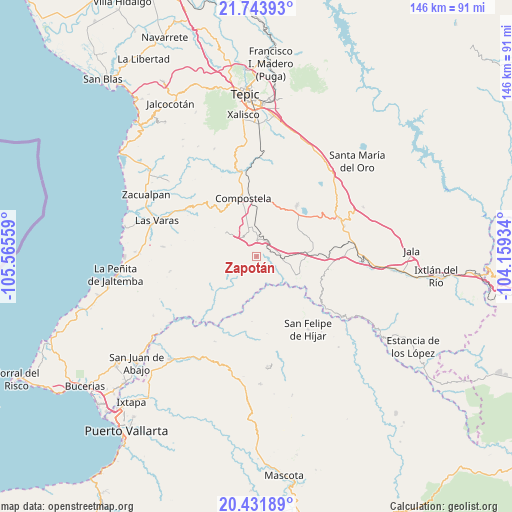
Zapotán GPS coordinates[2]
21° 5' 21.696" North, 104° 51' 44.856" West
| Map corner | latitude | longitude |
|---|---|---|
| Upper-left | 21.74393°, | -105.56559° |
| Center: | 21.08936°, | -104.86246° |
| Lower-right: | 20.43189°, | -104.15934° |
| Map W x H: | 145.9×145.9 km | = 90.7×90.7mi |
| max Lat: | 32.7° ⇑22.3% North |
| Zapotán: | 21.08936° |
| min Lat: | ⇓77.7% South 14.53588° |
| min Long | Zapotán | max Long |
| -117.105° | -104.86246° | -86.73105° |
| W 8.3%⇐ | ⇒91.7% E |
Elevation
Elevation of Zapotán is 815 m = 2674 ft, and this is 438.7 m = 1439 ft below average elevation for this country.
| Max E: |
3497 m = 11473 ft | 63% |
| Avg. | 1253.7 m = 4113 ft | |
| Zapotán | 815 m = 2674 ft | |
Min E: |
-1 m = -3 ft | 37% |
See also: Mexico elevation on elevation.city.
Geographical zone
Zapotán is located in North Torrid zone (between Equator and Tropic of Cancer). Distance of this Northern Tropic circle is 261 km =162.2 mi to North.| Distance of | km | miles | from Zapotán |
|---|---|---|---|
| North Pole | 7662.1 | 4761 | to North |
| Arctic Circle | 5056.3 | 3141.8 | to North |
| Tropic Cancer | 261 | 162.2 | to North |
| Equator | 2344.9 | 1457.1 | to South |


Nearby cities:
15 places around Zapotán: (largest is in red/bold)
• Aguamilpa
25.5 km =15.8 mi,  222°
222°
• Chapalilla
25.8 km =16 mi,  64°
64°
• Compostela
17 km =10.6 mi,  346°
346°
• Cuastecomate
12.5 km =7.8 mi,  114°
114°
• Felipe Carrillo Puerto
4.7 km =2.9 mi,  2°
2°
• Juan Escutia (Borbollón)
8.7 km =5.4 mi,  356°
356°
• Mazatán
11.1 km =6.9 mi,  306°
306°
• Miravalles
21.8 km =13.5 mi, 355°
• San Felipe de Híjar
25.5 km =15.8 mi,  144°
144°
• San Pedro Lagunillas
18.4 km =11.4 mi,  38°
38°
• Santa Cruz de Camotlán
24.8 km =15.4 mi,  126°
126°
• Santa Isabel
26.1 km =16.2 mi,  71°
71°
• Tequilita
6.7 km =4.2 mi,  92°
92°
• Tetitlán
25.9 km =16.1 mi,  80°
80°
• Valle Verde
25.3 km =15.7 mi, 82°
Sources, notices
• [Note1] Compared only with cities in Mexico existing in our database
• [Src1] Map data: © OpenStreetMap contributors (CC-BY-SA)
• [Src2] Other city data from geonames.org with taken over terms of usage.
• [Src3] Geographical zone / Annual Mean Temperature by Robert A. Rohde @ Wikipedia
