Rancho la Tinaja geodata
Rancho la Tinaja (Querétaro) is a populated place; located in Mexico in America/Mexico_City (GMT-6) time zone. With population of 669 people, there are 12968 cities with bigger population in this country. Compared to other cities in Mexico, 71.9% of cities are located further ↓South; 70% of cities are located further →East and 80.1% of cities have lower elevation than Rancho la Tinaja. Note1


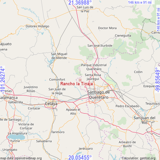
Rancho la Tinaja GPS coordinates[2]
20° 42' 49.104" North, 100° 33' 34.596" West
| Map corner | latitude | longitude |
|---|---|---|
| Upper-left | 21.36988°, | -101.26274° |
| Center: | 20.71364°, | -100.55961° |
| Lower-right: | 20.05455°, | -99.85649° |
| Map W x H: | 146.3×146.3 km | = 90.9×90.9mi |
| max Lat: | 32.7° ⇑28.1% North |
| Rancho la Tinaja: | 20.71364° |
| min Lat: | ⇓71.9% South 14.53588° |
| min Long | Rancho la Tinaj | max Long |
| -117.105° | -100.55961° | -86.73105° |
| W 30%⇐ | ⇒70% E |
Elevation
Elevation of Rancho la Tinaja is 2144 m = 7034 ft, and this is 890.3 m = 2921 ft above average elevation for this country.
| Max E: |
3497 m = 11473 ft | 19.9% |
| Rancho la Tinaja | 2144 m 7034 ft | |
| Avg. | 1253.7 m = 4113 ft | |
Min E: |
-1 m = -3 ft | 80.1% |
See also: Mexico elevation on elevation.city.
Geographical zone
Rancho la Tinaja is located in North Torrid zone (between Equator and Tropic of Cancer). Distance of this Northern Tropic circle is 302.8 km =188.2 mi to North.| Distance of | km | miles | from Rancho la Tinaja |
|---|---|---|---|
| North Pole | 7703.9 | 4787 | to North |
| Arctic Circle | 5098 | 3167.7 | to North |
| Tropic Cancer | 302.8 | 188.2 | to North |
| Equator | 2303.1 | 1431.1 | to South |


Nearby cities:
15 places around Rancho la Tinaja: (largest is in red/bold)
• Casa Blanca
7.1 km =4.4 mi,  53°
53°
• Cerro Colorado (El Colorado)
8.2 km =5.1 mi, 49°
• Charco de Sierra
5.2 km =3.2 mi,  288°
288°
• El Picacho
8.1 km =5 mi,  267°
267°
• El Zapote
7.3 km =4.5 mi,  160°
160°
• Estancia de la Rochera
8.4 km =5.2 mi,  40°
40°
• Ixtla
7.4 km =4.6 mi,  204°
204°
• Mompaní
6 km =3.7 mi,  113°
113°
• Obraje de Ixtla
7.1 km =4.4 mi,  225°
225°
• Praga
7.1 km =4.4 mi,  135°
135°
• San Francisco de la Palma
7.5 km =4.7 mi, 142°
• San Miguelito
6.5 km =4 mi,  66°
66°
• Tierra Blanca
5 km =3.1 mi,  249°
249°
• Tlacote el Alto
4.2 km =2.6 mi,  125°
125°
• Tlacote el Bajo
7.9 km =4.9 mi, 137°
Sources, notices
• [Note1] Compared only with cities in Mexico existing in our database
• [Src1] Map data: © OpenStreetMap contributors (CC-BY-SA)
• [Src2] Other city data from geonames.org with taken over terms of usage.
• [Src3] Geographical zone / Annual Mean Temperature by Robert A. Rohde @ Wikipedia
