El Picacho geodata
El Picacho (Guanajuato) is a populated place; located in Mexico in America/Mexico_City (GMT-6) time zone. With population of 1,306 people, there are 6641 cities with bigger population in this country. Compared to other cities in Mexico, 71.8% of cities are located further ↓South; 70.6% of cities are located further →East and 74.2% of cities have lower elevation than El Picacho. Note1


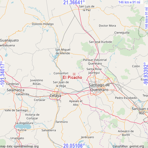
El Picacho GPS coordinates[2]
20° 42' 36.576" North, 100° 38' 13.344" West
| Map corner | latitude | longitude |
|---|---|---|
| Upper-left | 21.36641°, | -101.34017° |
| Center: | 20.71016°, | -100.63704° |
| Lower-right: | 20.05106°, | -99.93392° |
| Map W x H: | 146.3×146.3 km | = 90.9×90.9mi |
| max Lat: | 32.7° ⇑28.2% North |
| El Picacho: | 20.71016° |
| min Lat: | ⇓71.8% South 14.53588° |
| min Long | El Picacho | max Long |
| -117.105° | -100.63704° | -86.73105° |
| W 29.4%⇐ | ⇒70.6% E |
Elevation
Elevation of El Picacho is 2017 m = 6617 ft, and this is 763.3 m = 2504 ft above average elevation for this country.
| Max E: |
3497 m = 11473 ft | 25.8% |
| El Picacho | 2017 m 6617 ft | |
| Avg. | 1253.7 m = 4113 ft | |
Min E: |
-1 m = -3 ft | 74.2% |
See also: Mexico elevation on elevation.city.
Geographical zone
El Picacho is located in North Torrid zone (between Equator and Tropic of Cancer). Distance of this Northern Tropic circle is 303.2 km =188.4 mi to North.| Distance of | km | miles | from El Picacho |
|---|---|---|---|
| North Pole | 7704.3 | 4787.2 | to North |
| Arctic Circle | 5098.4 | 3168 | to North |
| Tropic Cancer | 303.2 | 188.4 | to North |
| Equator | 2302.8 | 1430.9 | to South |


Nearby cities:
15 places around El Picacho: (largest is in red/bold)
• Charco de Sierra
3.7 km =2.3 mi,  57°
57°
• El Peñón
9.2 km =5.7 mi,  183°
183°
• Empalme Escobedo
12.2 km =7.6 mi,  249°
249°
• Galvanes
10.2 km =6.3 mi,  228°
228°
• Ixtla
8.1 km =5 mi,  142°
142°
• Jalpilla
9 km =5.6 mi,  285°
285°
• La Borunda
4.1 km =2.5 mi,  303°
303°
• La Campana
12.3 km =7.6 mi,  347°
347°
• Las Gallinas
8.8 km =5.5 mi, 300°
• Obraje de Ixtla
5.4 km =3.4 mi,  146°
146°
• Ojo de Agua de Ixtla
6.5 km =4 mi,  168°
168°
• Ojo de Agua del Potrero
7.7 km =4.8 mi,  338°
338°
• Rancho la Tinaja
8.1 km =5 mi,  87°
87°
• Tierra Blanca
3.6 km =2.2 mi,  112°
112°
• Tlacote el Alto
11.7 km =7.3 mi,  100°
100°
Sources, notices
• [Note1] Compared only with cities in Mexico existing in our database
• [Src1] Map data: © OpenStreetMap contributors (CC-BY-SA)
• [Src2] Other city data from geonames.org with taken over terms of usage.
• [Src3] Geographical zone / Annual Mean Temperature by Robert A. Rohde @ Wikipedia
