Paredón geodata
Paredón (Coahuila) is a populated place; located in Mexico in America/Monterrey (GMT-6) time zone. With population of 1,165 people, there are 7447 cities with bigger population in this country. Compared to other cities in Mexico, 95.1% of cities are located further ↓South; 72.9% of cities are located further →East and 63.6% of cities have higher elevation than Paredón. Note1


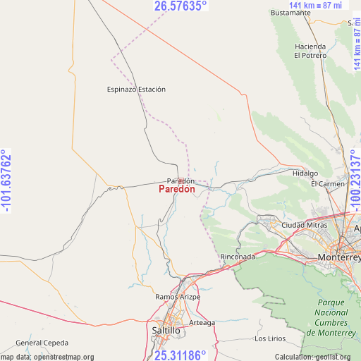
Paredón GPS coordinates[2]
25° 56' 44.88" North, 100° 56' 4.164" West
| Map corner | latitude | longitude |
|---|---|---|
| Upper-left | 26.57635°, | -101.63762° |
| Center: | 25.9458°, | -100.93449° |
| Lower-right: | 25.31186°, | -100.23137° |
| Map W x H: | 140.6×140.6 km | = 87.4×87.4mi |
| max Lat: | 32.7° ⇑4.9% North |
| Paredón: | 25.9458° |
| min Lat: | ⇓95.1% South 14.53588° |
| min Long | Paredón | max Long |
| -117.105° | -100.93449° | -86.73105° |
| W 27.1%⇐ | ⇒72.9% E |
Elevation
Elevation of Paredón is 775 m = 2543 ft, and this is 478.7 m = 1571 ft below average elevation for this country.
| Max E: |
3497 m = 11473 ft | 63.6% |
| Avg. | 1253.7 m = 4113 ft | |
| Paredón | 775 m = 2543 ft | |
Min E: |
-1 m = -3 ft | 36.4% |
See also: Mexico elevation on elevation.city.
Geographical zone
Paredón is located in North temperate zone (between Tropic of Cancer and the Arctic Circle). Distance of this Northern Tropic circle is 279 km =173.4 mi to South.| Distance of | km | miles | from Paredón |
|---|---|---|---|
| North Pole | 7122.2 | 4425.5 | to North |
| Arctic Circle | 4516.3 | 2806.3 | to North |
| Tropic Cancer | 279 | 173.4 | to South |
| Equator | 2884.9 | 1792.6 | to South |


Nearby cities:
15 places around Paredón: (largest is in red/bold)
• Abasolo
53.9 km =33.5 mi,  89°
89°
• Alberto Villarreal
52.3 km =32.5 mi, 90°
• García
36.7 km =22.8 mi,  113°
113°
• Hidalgo
48.5 km =30.1 mi, 86°
• Las Torres de Guadalupe
34.9 km =21.7 mi,  116°
116°
• Los Parques
49.6 km =30.8 mi, 110°
• Mina
40.9 km =25.4 mi,  81°
81°
• Mitras Poniente
54.3 km =33.7 mi, 110°
• Monclova Primer Sector
55.1 km =34.2 mi, 105°
• Monclova Segundo Sector
55.7 km =34.6 mi, 105°
• Parque Industrial Ciudad Mitras
51.7 km =32.1 mi, 109°
• Praderas de San Francisco
55.1 km =34.2 mi,  104°
104°
• Ramos Arizpe
45.2 km =28.1 mi,  181°
181°
• Valle de Lincoln
48.7 km =30.3 mi, 110°
• Valle de San Felipe
33.3 km =20.7 mi, 116°
Sources, notices
• [Note1] Compared only with cities in Mexico existing in our database
• [Src1] Map data: © OpenStreetMap contributors (CC-BY-SA)
• [Src2] Other city data from geonames.org with taken over terms of usage.
• [Src3] Geographical zone / Annual Mean Temperature by Robert A. Rohde @ Wikipedia
