La Victoria geodata
La Victoria (Sonora) is a populated place; located in Mexico in America/Hermosillo (GMT-7) time zone. With population of 1,966 people, there are 4435 cities with bigger population in this country. Compared to other cities in Mexico, 98.1% of cities are located further ↓South; 98.6% of cities are located further →East and 74.4% of cities have higher elevation than La Victoria. Note1


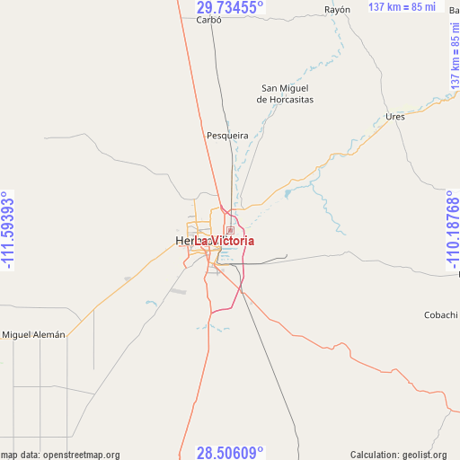
La Victoria GPS coordinates[2]
29° 7' 19.74" North, 110° 53' 26.88" West
| Map corner | latitude | longitude |
|---|---|---|
| Upper-left | 29.73455°, | -111.59393° |
| Center: | 29.12215°, | -110.8908° |
| Lower-right: | 28.50609°, | -110.18768° |
| Map W x H: | 136.6×136.6 km | = 84.9×84.9mi |
| max Lat: | 32.7° ⇑1.9% North |
| La Victoria: | 29.12215° |
| min Lat: | ⇓98.1% South 14.53588° |
| min Long | La Victoria | max Long |
| -117.105° | -110.8908° | -86.73105° |
| W 1.4%⇐ | ⇒98.6% E |
Elevation
Elevation of La Victoria is 239 m = 784 ft, and this is 1014.7 m = 3329 ft below average elevation for this country.
| Max E: |
3497 m = 11473 ft | 74.4% |
| Avg. | 1253.7 m = 4113 ft | |
| La Victoria | 239 m = 784 ft | |
Min E: |
-1 m = -3 ft | 25.6% |
See also: Mexico elevation on elevation.city.
Geographical zone
La Victoria is located in North temperate zone (between Tropic of Cancer and the Arctic Circle). Distance of this Northern Tropic circle is 632.2 km =392.8 mi to South.| Distance of | km | miles | from La Victoria |
|---|---|---|---|
| North Pole | 6769 | 4206.1 | to North |
| Arctic Circle | 4163.1 | 2586.8 | to North |
| Tropic Cancer | 632.2 | 392.8 | to South |
| Equator | 3238.1 | 2012.1 | to South |


Nearby cities:
15 places around La Victoria: (largest is in red/bold)
• Alejandro Carrillo Marcor
48.9 km =30.4 mi,  241°
241°
• Carbo
62.7 km =39 mi,  354°
354°
• El Alamito Buenavista
7.2 km =4.5 mi,  30°
30°
• El Triunfo
60.8 km =37.8 mi, 239°
• Estación Zamora
15.5 km =9.6 mi,  1°
1°
• Guadalupe
51.8 km =32.2 mi,  55°
55°
• Hermosillo
8.7 km =5.4 mi,  255°
255°
• La Colorada
46.6 km =29 mi,  139°
139°
• Las Mercedes [Agropecuaria]
27.5 km =17.1 mi, 347°
• Miguel Alemán (La Doce)
65.1 km =40.5 mi, 241°
• Molino de Camou
15.8 km =9.8 mi,  54°
54°
• Pesqueira
28.6 km =17.8 mi,  358°
358°
• San Miguel de Horcasitas
43.7 km =27.2 mi,  21°
21°
• Santa Inés Uno (El Capitán)
60.3 km =37.5 mi,  265°
265°
• Ures
59.4 km =36.9 mi, 55°
Sources, notices
• [Note1] Compared only with cities in Mexico existing in our database
• [Src1] Map data: © OpenStreetMap contributors (CC-BY-SA)
• [Src2] Other city data from geonames.org with taken over terms of usage.
• [Src3] Geographical zone / Annual Mean Temperature by Robert A. Rohde @ Wikipedia
