La Quemada geodata
La Quemada (Zacatecas) is a populated place; located in Mexico in America/Mexico_City (GMT-6) time zone. With population of 686 people, there are 12663 cities with bigger population in this country. Compared to other cities in Mexico, 89% of cities are located further ↓South; 85.2% of cities are located further →East and 75.6% of cities have lower elevation than La Quemada. Note1


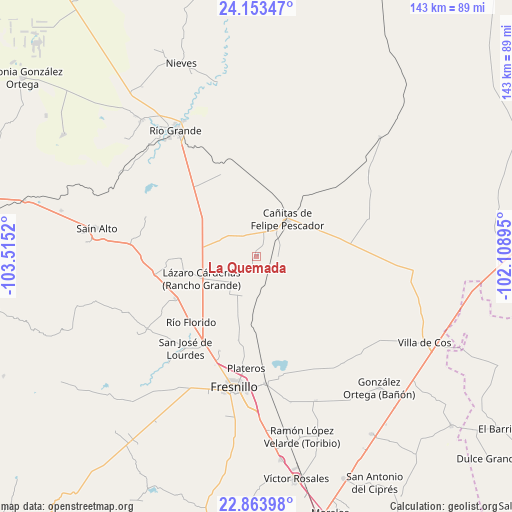
La Quemada GPS coordinates[2]
23° 30' 37.08" North, 102° 48' 43.452" West
| Map corner | latitude | longitude |
|---|---|---|
| Upper-left | 24.15347°, | -103.5152° |
| Center: | 23.5103°, | -102.81207° |
| Lower-right: | 22.86398°, | -102.10895° |
| Map W x H: | 143.4×143.4 km | = 89.1×89.1mi |
| max Lat: | 32.7° ⇑11% North |
| La Quemada: | 23.5103° |
| min Lat: | ⇓89% South 14.53588° |
| min Long | La Quemada | max Long |
| -117.105° | -102.81207° | -86.73105° |
| W 14.8%⇐ | ⇒85.2% E |
Elevation
Elevation of La Quemada is 2040 m = 6693 ft, and this is 786.3 m = 2580 ft above average elevation for this country.
| Max E: |
3497 m = 11473 ft | 24.4% |
| La Quemada | 2040 m 6693 ft | |
| Avg. | 1253.7 m = 4113 ft | |
Min E: |
-1 m = -3 ft | 75.6% |
See also: Mexico elevation on elevation.city.
Geographical zone
La Quemada is located in North temperate zone (between Tropic of Cancer and the Arctic Circle). Distance of this Northern Tropic circle is 8.2 km =5.1 mi to South.| Distance of | km | miles | from La Quemada |
|---|---|---|---|
| North Pole | 7393 | 4593.8 | to North |
| Arctic Circle | 4787.1 | 2974.6 | to North |
| Tropic Cancer | 8.2 | 5.1 | to South |
| Equator | 2614.1 | 1624.3 | to South |


Nearby cities:
15 places around La Quemada: (largest is in red/bold)
• Altamira
22.8 km =14.2 mi,  231°
231°
• Boquilla de Abajo
7.2 km =4.5 mi,  313°
313°
• Boquilla de Arriba
10.3 km =6.4 mi, 306°
• Cañitas de Felipe Pescador
13.5 km =8.4 mi,  39°
39°
• El Baluarte
25.7 km =16 mi,  242°
242°
• Estación Gutiérrez
7.5 km =4.7 mi,  160°
160°
• La Encantada
8.2 km =5.1 mi, 230°
• La Salada
10 km =6.2 mi,  224°
224°
• Lázaro Cárdenas (Rancho Grande)
16.7 km =10.4 mi,  246°
246°
• Milpillas de la Sierra
6.1 km =3.8 mi,  93°
93°
• Rio de Medina
21 km =13 mi,  267°
267°
• Río Florido
25.9 km =16.1 mi, 224°
• San Ignacio
27.7 km =17.2 mi, 222°
• San Pablo de Rancho Grande
11.3 km =7 mi,  293°
293°
• Tetillas
24.8 km =15.4 mi,  336°
336°
Sources, notices
• [Note1] Compared only with cities in Mexico existing in our database
• [Src1] Map data: © OpenStreetMap contributors (CC-BY-SA)
• [Src2] Other city data from geonames.org with taken over terms of usage.
• [Src3] Geographical zone / Annual Mean Temperature by Robert A. Rohde @ Wikipedia
