El Nuevo Porvenir geodata
El Nuevo Porvenir (Durango) is a populated place; located in Mexico in America/Monterrey (GMT-6) time zone. With population of 560 people, there are 15231 cities with bigger population in this country. Compared to other cities in Mexico, 91.6% of cities are located further ↓South; 91.9% of cities are located further →East and 72.2% of cities have lower elevation than El Nuevo Porvenir. Note1


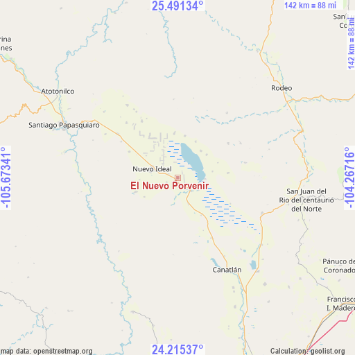
El Nuevo Porvenir GPS coordinates[2]
24° 51' 18" North, 104° 58' 13.008" West
| Map corner | latitude | longitude |
|---|---|---|
| Upper-left | 25.49134°, | -105.67341° |
| Center: | 24.855°, | -104.97028° |
| Lower-right: | 24.21537°, | -104.26716° |
| Map W x H: | 141.9×141.9 km | = 88.2×88.2mi |
| max Lat: | 32.7° ⇑8.4% North |
| El Nuevo Porvenir: | 24.855° |
| min Lat: | ⇓91.6% South 14.53588° |
| min Long | El Nuevo Porven | max Long |
| -117.105° | -104.97028° | -86.73105° |
| W 8.1%⇐ | ⇒91.9% E |
Elevation
Elevation of El Nuevo Porvenir is 1971 m = 6467 ft, and this is 717.3 m = 2353 ft above average elevation for this country.
| Max E: |
3497 m = 11473 ft | 27.8% |
| El Nuevo Porvenir | 1971 m 6467 ft | |
| Avg. | 1253.7 m = 4113 ft | |
Min E: |
-1 m = -3 ft | 72.2% |
See also: Mexico elevation on elevation.city.
Geographical zone
El Nuevo Porvenir is located in North temperate zone (between Tropic of Cancer and the Arctic Circle). Distance of this Northern Tropic circle is 157.7 km =98 mi to South.| Distance of | km | miles | from El Nuevo Porvenir |
|---|---|---|---|
| North Pole | 7243.4 | 4500.8 | to North |
| Arctic Circle | 4637.6 | 2881.7 | to North |
| Tropic Cancer | 157.7 | 98 | to South |
| Equator | 2763.6 | 1717.2 | to South |


Nearby cities:
15 places around El Nuevo Porvenir: (largest is in red/bold)
• Canatlán
41.7 km =25.9 mi,  151°
151°
• Coneto de Comonfort
24.5 km =15.2 mi,  55°
55°
• Diez de Octubre
36.5 km =22.7 mi,  112°
112°
• Doctor Castillo del Valle
17 km =10.6 mi,  9°
9°
• Donato Guerra
42.8 km =26.6 mi,  128°
128°
• El Progreso
27.5 km =17.1 mi, 150°
• Esfuerzos Unidos
4.2 km =2.6 mi,  208°
208°
• Guatimapé
7.3 km =4.5 mi,  136°
136°
• José María Morelos
29.8 km =18.5 mi,  306°
306°
• La Soledad
11.1 km =6.9 mi,  157°
157°
• Miguel Negrete
18 km =11.2 mi,  356°
356°
• Nogales
28.7 km =17.8 mi, 60°
• Nuevo Ideal
11.1 km =6.9 mi,  287°
287°
• Tejamen
17.7 km =11 mi,  251°
251°
• Villa Hermosa
15.4 km =9.6 mi,  267°
267°
Sources, notices
• [Note1] Compared only with cities in Mexico existing in our database
• [Src1] Map data: © OpenStreetMap contributors (CC-BY-SA)
• [Src2] Other city data from geonames.org with taken over terms of usage.
• [Src3] Geographical zone / Annual Mean Temperature by Robert A. Rohde @ Wikipedia
