Colón geodata
Colón (Coahuila) is a populated place; located in Mexico in America/Monterrey (GMT-6) time zone. With population of 1,000 people, there are 8715 cities with bigger population in this country. Compared to other cities in Mexico, 94.6% of cities are located further ↓South; 87% of cities are located further →East and 57.8% of cities have higher elevation than Colón. Note1


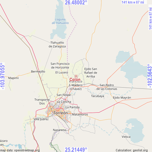
Colón GPS coordinates[2]
25° 50' 56.22" North, 103° 16' 2.712" West
| Map corner | latitude | longitude |
|---|---|---|
| Upper-left | 26.48002°, | -103.97055° |
| Center: | 25.84895°, | -103.26742° |
| Lower-right: | 25.21449°, | -102.5643° |
| Map W x H: | 140.7×140.7 km | = 87.4×87.4mi |
| max Lat: | 32.7° ⇑5.4% North |
| Colón: | 25.84895° |
| min Lat: | ⇓94.6% South 14.53588° |
| min Long | Colón | max Long |
| -117.105° | -103.26742° | -86.73105° |
| W 13%⇐ | ⇒87% E |
Elevation
Elevation of Colón is 1108 m = 3635 ft, and this is 145.7 m = 478 ft below average elevation for this country.
| Max E: |
3497 m = 11473 ft | 57.8% |
| Avg. | 1253.7 m = 4113 ft | |
| Colón | 1108 m = 3635 ft | |
Min E: |
-1 m = -3 ft | 42.2% |
See also: Mexico elevation on elevation.city.
Geographical zone
Colón is located in North temperate zone (between Tropic of Cancer and the Arctic Circle). Distance of this Northern Tropic circle is 268.2 km =166.7 mi to South.| Distance of | km | miles | from Colón |
|---|---|---|---|
| North Pole | 7132.9 | 4432.2 | to North |
| Arctic Circle | 4527 | 2812.9 | to North |
| Tropic Cancer | 268.2 | 166.7 | to South |
| Equator | 2874.1 | 1785.9 | to South |


Nearby cities:
15 places around Colón: (largest is in red/bold)
• Alejo González (Bilbao)
7.9 km =4.9 mi,  112°
112°
• Coruña
4.6 km =2.9 mi,  319°
319°
• El Lequeitio
1.2 km =0.7 mi,  257°
257°
• Florencia
4.4 km =2.7 mi,  254°
254°
• Francisco I. Madero
8.5 km =5.3 mi,  182°
182°
• Hidalgo
3.9 km =2.4 mi,  202°
202°
• Huitrón
8.1 km =5 mi,  276°
276°
• La Fe
6.6 km =4.1 mi,  91°
91°
• La Pinta
6 km =3.7 mi,  2°
2°
• Las Mercedes
3.2 km =2 mi, 250°
• San Alberto
8.1 km =5 mi, 252°
• San José de la Niña
5.7 km =3.5 mi,  60°
60°
• Santa María
3.2 km =2 mi,  48°
48°
• Vega Larga
7.7 km =4.8 mi, 60°
• Virginias
5.4 km =3.4 mi,  185°
185°
Sources, notices
• [Note1] Compared only with cities in Mexico existing in our database
• [Src1] Map data: © OpenStreetMap contributors (CC-BY-SA)
• [Src2] Other city data from geonames.org with taken over terms of usage.
• [Src3] Geographical zone / Annual Mean Temperature by Robert A. Rohde @ Wikipedia
