Cíbuta geodata
Cíbuta (Sonora) is a populated place; located in Mexico in America/Hermosillo (GMT-7) time zone. With population of 675 people, there are 12870 cities with bigger population in this country. Compared to other cities in Mexico, 99% of cities are located further ↓South; 98.6% of cities are located further →East and 58.6% of cities have higher elevation than Cíbuta. Note1


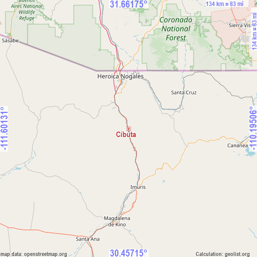
Cíbuta GPS coordinates[2]
31° 3' 40.896" North, 110° 53' 53.448" West
| Map corner | latitude | longitude |
|---|---|---|
| Upper-left | 31.66175°, | -111.60131° |
| Center: | 31.06136°, | -110.89818° |
| Lower-right: | 30.45715°, | -110.19506° |
| Map W x H: | 133.9×133.9 km | = 83.2×83.2mi |
| max Lat: | 32.7° ⇑1% North |
| Cíbuta: | 31.06136° |
| min Lat: | ⇓99% South 14.53588° |
| min Long | Cíbuta | max Long |
| -117.105° | -110.89818° | -86.73105° |
| W 1.4%⇐ | ⇒98.6% E |
Elevation
Elevation of Cíbuta is 1072 m = 3517 ft, and this is 181.7 m = 596 ft below average elevation for this country.
| Max E: |
3497 m = 11473 ft | 58.6% |
| Avg. | 1253.7 m = 4113 ft | |
| Cíbuta | 1072 m = 3517 ft | |
Min E: |
-1 m = -3 ft | 41.4% |
See also: Mexico elevation on elevation.city.
Geographical zone
Cíbuta is located in North temperate zone (between Tropic of Cancer and the Arctic Circle). Distance of this Northern Tropic circle is 847.8 km =526.8 mi to South.| Distance of | km | miles | from Cíbuta |
|---|---|---|---|
| North Pole | 6553.4 | 4072.1 | to North |
| Arctic Circle | 3947.5 | 2452.9 | to North |
| Tropic Cancer | 847.8 | 526.8 | to South |
| Equator | 3453.7 | 2146 | to South |


Nearby cities:
15 places around Cíbuta: (largest is in red/bold)
• Campo Carretero
32.5 km =20.2 mi,  172°
172°
• Centro de Readaptación Social Nuevo
15.2 km =9.4 mi,  334°
334°
• El Crucero
32.2 km =20 mi,  175°
175°
• El Tasicuri
44.2 km =27.5 mi, 184°
• Francisco Miguel Cárdenas Valdez (Mascareñas)
25.7 km =16 mi,  22°
22°
• Imuris
30.6 km =19 mi, 170°
• La Estación
31.7 km =19.7 mi, 175°
• La Mesa
13.1 km =8.1 mi, 326°
• Magdalena de Kino
48.6 km =30.2 mi,  187°
187°
• Miguel Hidalgo
26 km =16.2 mi,  68°
68°
• Nogales
27.8 km =17.3 mi,  351°
351°
• San Ignacio
40.6 km =25.2 mi, 183°
• Santa Cruz
34.5 km =21.4 mi,  56°
56°
• Sáric
46.1 km =28.6 mi,  275°
275°
• Tubutama
57.5 km =35.7 mi,  250°
250°
Sources, notices
• [Note1] Compared only with cities in Mexico existing in our database
• [Src1] Map data: © OpenStreetMap contributors (CC-BY-SA)
• [Src2] Other city data from geonames.org with taken over terms of usage.
• [Src3] Geographical zone / Annual Mean Temperature by Robert A. Rohde @ Wikipedia
