La Mesa geodata
La Mesa (Sonora) is a populated place; located in Mexico in America/Hermosillo (GMT-7) time zone. With population of 2,996 people, there are 2999 cities with bigger population in this country. Compared to other cities in Mexico, 99% of cities are located further ↓South; 98.6% of cities are located further →East and 55.4% of cities have higher elevation than La Mesa. Note1


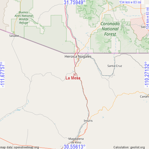
La Mesa GPS coordinates[2]
31° 9' 34.992" North, 110° 58' 27.984" West
| Map corner | latitude | longitude |
|---|---|---|
| Upper-left | 31.75949°, | -111.67757° |
| Center: | 31.15972°, | -110.97444° |
| Lower-right: | 30.55613°, | -110.27132° |
| Map W x H: | 133.8×133.8 km | = 83.1×83.1mi |
| max Lat: | 32.7° ⇑1% North |
| La Mesa: | 31.15972° |
| min Lat: | ⇓99% South 14.53588° |
| min Long | La Mesa | max Long |
| -117.105° | -110.97444° | -86.73105° |
| W 1.4%⇐ | ⇒98.6% E |
Elevation
Elevation of La Mesa is 1182 m = 3878 ft, and this is 71.7 m = 235 ft below average elevation for this country.
| Max E: |
3497 m = 11473 ft | 55.4% |
| Avg. | 1253.7 m = 4113 ft | |
| La Mesa | 1182 m = 3878 ft | |
Min E: |
-1 m = -3 ft | 44.6% |
See also: Mexico elevation on elevation.city.
Geographical zone
La Mesa is located in North temperate zone (between Tropic of Cancer and the Arctic Circle). Distance of this Northern Tropic circle is 858.7 km =533.6 mi to South.| Distance of | km | miles | from La Mesa |
|---|---|---|---|
| North Pole | 6542.4 | 4065.3 | to North |
| Arctic Circle | 3936.5 | 2446 | to North |
| Tropic Cancer | 858.7 | 533.6 | to South |
| Equator | 3464.6 | 2152.8 | to South |


Nearby cities:
15 places around La Mesa: (largest is in red/bold)
• Campo Carretero
44.7 km =27.8 mi,  165°
165°
• Centro de Readaptación Social Nuevo
2.8 km =1.7 mi,  12°
12°
• Cíbuta
13.1 km =8.1 mi,  146°
146°
• El Crucero
44.1 km =27.4 mi, 167°
• El Tasicuri
55.2 km =34.3 mi,  175°
175°
• Francisco Miguel Cárdenas Valdez (Mascareñas)
21.4 km =13.3 mi,  53°
53°
• Imuris
42.9 km =26.7 mi,  163°
163°
• La Estación
43.6 km =27.1 mi, 167°
• Magdalena de Kino
59.1 km =36.7 mi, 178°
• Miguel Hidalgo
31.6 km =19.6 mi,  92°
92°
• Nogales
16.8 km =10.4 mi, 10°
• San Ignacio
51.7 km =32.1 mi, 174°
• Santa Cruz
36.9 km =22.9 mi,  77°
77°
• Sáric
39 km =24.2 mi,  260°
260°
• Tubutama
55.9 km =34.7 mi,  236°
236°
Sources, notices
• [Note1] Compared only with cities in Mexico existing in our database
• [Src1] Map data: © OpenStreetMap contributors (CC-BY-SA)
• [Src2] Other city data from geonames.org with taken over terms of usage.
• [Src3] Geographical zone / Annual Mean Temperature by Robert A. Rohde @ Wikipedia
