Camichín de Jauja geodata
Camichín de Jauja (Nayarit) is a populated place; located in Mexico in America/Mazatlan (GMT-7) time zone. With population of 2,358 people, there are 3746 cities with bigger population in this country. Compared to other cities in Mexico, 81.2% of cities are located further ↓South; 91.6% of cities are located further →East and 60.4% of cities have higher elevation than Camichín de Jauja. Note1


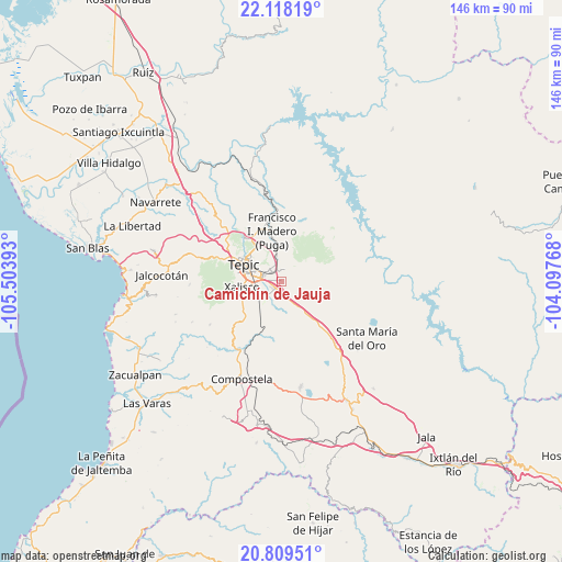
Camichín de Jauja GPS coordinates[2]
21° 27' 55.152" North, 104° 48' 2.88" West
| Map corner | latitude | longitude |
|---|---|---|
| Upper-left | 22.11819°, | -105.50393° |
| Center: | 21.46532°, | -104.8008° |
| Lower-right: | 20.80951°, | -104.09768° |
| Map W x H: | 145.5×145.5 km | = 90.4×90.4mi |
| max Lat: | 32.7° ⇑18.8% North |
| Camichín de Jauja: | 21.46532° |
| min Lat: | ⇓81.2% South 14.53588° |
| min Long | Camichín de Ja | max Long |
| -117.105° | -104.8008° | -86.73105° |
| W 8.4%⇐ | ⇒91.6% E |
Elevation
Elevation of Camichín de Jauja is 976 m = 3202 ft, and this is 277.7 m = 911 ft below average elevation for this country.
| Max E: |
3497 m = 11473 ft | 60.4% |
| Avg. | 1253.7 m = 4113 ft | |
| Camichín de Jauja | 976 m = 3202 ft | |
Min E: |
-1 m = -3 ft | 39.6% |
See also: Mexico elevation on elevation.city.
Geographical zone
Camichín de Jauja is located in North Torrid zone (between Equator and Tropic of Cancer). Distance of this Northern Tropic circle is 219.2 km =136.2 mi to North.| Distance of | km | miles | from Camichín de Jauja |
|---|---|---|---|
| North Pole | 7620.3 | 4735 | to North |
| Arctic Circle | 5014.5 | 3115.9 | to North |
| Tropic Cancer | 219.2 | 136.2 | to North |
| Equator | 2386.7 | 1483 | to South |


Nearby cities:
15 places around Camichín de Jauja: (largest is in red/bold)
• Aquiles Serdán
13 km =8.1 mi,  224°
224°
• El Refugio
6 km =3.7 mi,  153°
153°
• El Verde
3.3 km =2.1 mi,  243°
243°
• La Cantera
4.8 km =3 mi,  332°
332°
• La Corregidora
2.6 km =1.6 mi,  206°
206°
• La Curva
12.4 km =7.7 mi,  197°
197°
• Mora
6.9 km =4.3 mi,  351°
351°
• Pantanal
7.5 km =4.7 mi, 236°
• San Cayetano
2.4 km =1.5 mi, 223°
• San Fernando
12.7 km =7.9 mi,  7°
7°
• San Luis de Lozada
10.7 km =6.6 mi,  66°
66°
• Tepic
11 km =6.8 mi,  296°
296°
• Testerazo
11.9 km =7.4 mi,  234°
234°
• Trigomil
8.1 km =5 mi,  173°
173°
• Xalisco
10.2 km =6.3 mi,  261°
261°
Sources, notices
• [Note1] Compared only with cities in Mexico existing in our database
• [Src1] Map data: © OpenStreetMap contributors (CC-BY-SA)
• [Src2] Other city data from geonames.org with taken over terms of usage.
• [Src3] Geographical zone / Annual Mean Temperature by Robert A. Rohde @ Wikipedia
