La Curva geodata
La Curva (Nayarit) is a populated place; located in Mexico in America/Mazatlan (GMT-7) time zone. With population of 828 people, there are 10560 cities with bigger population in this country. Compared to other cities in Mexico, 80.5% of cities are located further ↓South; 91.7% of cities are located further →East and 61% of cities have higher elevation than La Curva. Note1


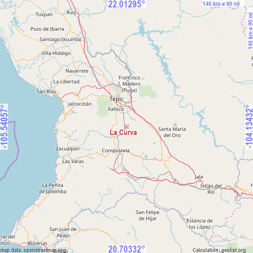
La Curva GPS coordinates[2]
21° 21' 34.56" North, 104° 50' 14.784" West
| Map corner | latitude | longitude |
|---|---|---|
| Upper-left | 22.01295°, | -105.54057° |
| Center: | 21.3596°, | -104.83744° |
| Lower-right: | 20.70332°, | -104.13432° |
| Map W x H: | 145.6×145.6 km | = 90.5×90.5mi |
| max Lat: | 32.7° ⇑19.5% North |
| La Curva: | 21.3596° |
| min Lat: | ⇓80.5% South 14.53588° |
| min Long | La Curva | max Long |
| -117.105° | -104.83744° | -86.73105° |
| W 8.3%⇐ | ⇒91.7% E |
Elevation
Elevation of La Curva is 937 m = 3074 ft, and this is 316.7 m = 1039 ft below average elevation for this country.
| Max E: |
3497 m = 11473 ft | 61% |
| Avg. | 1253.7 m = 4113 ft | |
| La Curva | 937 m = 3074 ft | |
Min E: |
-1 m = -3 ft | 39% |
See also: Mexico elevation on elevation.city.
Geographical zone
La Curva is located in North Torrid zone (between Equator and Tropic of Cancer). Distance of this Northern Tropic circle is 231 km =143.5 mi to North.| Distance of | km | miles | from La Curva |
|---|---|---|---|
| North Pole | 7632.1 | 4742.4 | to North |
| Arctic Circle | 5026.2 | 3123.1 | to North |
| Tropic Cancer | 231 | 143.5 | to North |
| Equator | 2375 | 1475.8 | to South |


Nearby cities:
15 places around La Curva: (largest is in red/bold)
• Aquiles Serdán
5.9 km =3.7 mi,  295°
295°
• Camichín de Jauja
12.4 km =7.7 mi,  17°
17°
• Cofradía de Chocolón
14.7 km =9.1 mi,  272°
272°
• El Refugio
9.1 km =5.7 mi,  45°
45°
• El Verde
10.3 km =6.4 mi,  4°
4°
• Emiliano Zapata
7.8 km =4.8 mi, 274°
• La Corregidora
9.8 km =6.1 mi, 15°
• La Labor
12.3 km =7.6 mi,  83°
83°
• Miravalles
9.3 km =5.8 mi,  206°
206°
• Pantanal
8 km =5 mi,  342°
342°
• San Cayetano
10.2 km =6.3 mi,  11°
11°
• San Leonel
14.1 km =8.8 mi,  94°
94°
• Testerazo
7.6 km =4.7 mi,  309°
309°
• Trigomil
6 km =3.7 mi, 51°
• Xalisco
12 km =7.5 mi,  328°
328°
Sources, notices
• [Note1] Compared only with cities in Mexico existing in our database
• [Src1] Map data: © OpenStreetMap contributors (CC-BY-SA)
• [Src2] Other city data from geonames.org with taken over terms of usage.
• [Src3] Geographical zone / Annual Mean Temperature by Robert A. Rohde @ Wikipedia
