Bucareli geodata
Bucareli (Durango) is a populated place; located in Mexico in America/Monterrey (GMT-6) time zone. With population of 505 people, there are 16660 cities with bigger population in this country. Compared to other cities in Mexico, 93.4% of cities are located further ↓South; 88.4% of cities are located further →East and 57% of cities have higher elevation than Bucareli. Note1


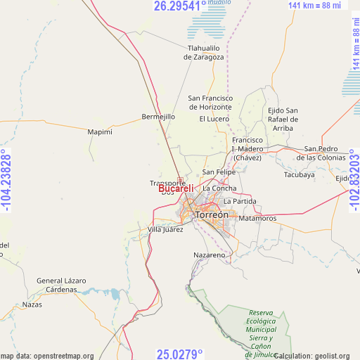
Bucareli GPS coordinates[2]
25° 39' 48.024" North, 103° 32' 6.54" West
| Map corner | latitude | longitude |
|---|---|---|
| Upper-left | 26.29541°, | -104.23828° |
| Center: | 25.66334°, | -103.53515° |
| Lower-right: | 25.0279°, | -102.83203° |
| Map W x H: | 140.9×140.9 km | = 87.6×87.6mi |
| max Lat: | 32.7° ⇑6.6% North |
| Bucareli: | 25.66334° |
| min Lat: | ⇓93.4% South 14.53588° |
| min Long | Bucareli | max Long |
| -117.105° | -103.53515° | -86.73105° |
| W 11.6%⇐ | ⇒88.4% E |
Elevation
Elevation of Bucareli is 1121 m = 3678 ft, and this is 132.7 m = 435 ft below average elevation for this country.
| Max E: |
3497 m = 11473 ft | 57% |
| Avg. | 1253.7 m = 4113 ft | |
| Bucareli | 1121 m = 3678 ft | |
Min E: |
-1 m = -3 ft | 43% |
See also: Mexico elevation on elevation.city.
Geographical zone
Bucareli is located in North temperate zone (between Tropic of Cancer and the Arctic Circle). Distance of this Northern Tropic circle is 247.6 km =153.9 mi to South.| Distance of | km | miles | from Bucareli |
|---|---|---|---|
| North Pole | 7153.6 | 4445 | to North |
| Arctic Circle | 4547.7 | 2825.8 | to North |
| Tropic Cancer | 247.6 | 153.9 | to South |
| Equator | 2853.5 | 1773.1 | to South |


Nearby cities:
15 places around Bucareli: (largest is in red/bold)
• Dolores
7.2 km =4.5 mi,  334°
334°
• Dolores (La Borrega)
8 km =5 mi,  190°
190°
• El Cariño
9.9 km =6.2 mi,  110°
110°
• El Vergel
3 km =1.9 mi,  152°
152°
• Estación Noé
6.4 km =4 mi,  341°
341°
• La Aurora
10.6 km =6.6 mi, 327°
• La Competencia
1.2 km =0.7 mi,  38°
38°
• La Luz
8.2 km =5.1 mi,  247°
247°
• La Luz
10.6 km =6.6 mi,  2°
2°
• La Popular
7.1 km =4.4 mi,  75°
75°
• Manila
3.1 km =1.9 mi,  351°
351°
• Nazas (Las Lagartijas)
8.5 km =5.3 mi,  115°
115°
• Palo Blanco
6.2 km =3.9 mi,  12°
12°
• Pastor Rovaix
3.3 km =2.1 mi,  49°
49°
• Transporte
3.3 km =2.1 mi, 189°
Sources, notices
• [Note1] Compared only with cities in Mexico existing in our database
• [Src1] Map data: © OpenStreetMap contributors (CC-BY-SA)
• [Src2] Other city data from geonames.org with taken over terms of usage.
• [Src3] Geographical zone / Annual Mean Temperature by Robert A. Rohde @ Wikipedia
