Presa de Rayas geodata
Presa de Rayas (Querétaro) is a populated place; located in Mexico in America/Mexico_City (GMT-6) time zone. With population of 1,257 people, there are 6888 cities with bigger population in this country. Compared to other cities in Mexico, 73.4% of cities are located further ↓South; 66.7% of cities are located further →East and 76.3% of cities have lower elevation than Presa de Rayas. Note1


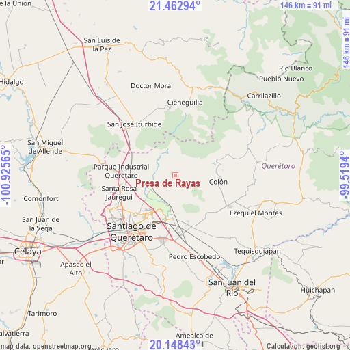
Presa de Rayas GPS coordinates[2]
20° 48' 25.632" North, 100° 13' 21.072" West
| Map corner | latitude | longitude |
|---|---|---|
| Upper-left | 21.46294°, | -100.92565° |
| Center: | 20.80712°, | -100.22252° |
| Lower-right: | 20.14843°, | -99.5194° |
| Map W x H: | 146.2×146.2 km | = 90.8×90.8mi |
| max Lat: | 32.7° ⇑26.6% North |
| Presa de Rayas: | 20.80712° |
| min Lat: | ⇓73.4% South 14.53588° |
| min Long | Presa de Rayas | max Long |
| -117.105° | -100.22252° | -86.73105° |
| W 33.3%⇐ | ⇒66.7% E |
Elevation
Elevation of Presa de Rayas is 2053 m = 6736 ft, and this is 799.3 m = 2622 ft above average elevation for this country.
| Max E: |
3497 m = 11473 ft | 23.7% |
| Presa de Rayas | 2053 m 6736 ft | |
| Avg. | 1253.7 m = 4113 ft | |
Min E: |
-1 m = -3 ft | 76.3% |
See also: Mexico elevation on elevation.city.
Geographical zone
Presa de Rayas is located in North Torrid zone (between Equator and Tropic of Cancer). Distance of this Northern Tropic circle is 292.4 km =181.7 mi to North.| Distance of | km | miles | from Presa de Rayas |
|---|---|---|---|
| North Pole | 7693.5 | 4780.5 | to North |
| Arctic Circle | 5087.6 | 3161.3 | to North |
| Tropic Cancer | 292.4 | 181.7 | to North |
| Equator | 2313.5 | 1437.5 | to South |


Nearby cities:
15 places around Presa de Rayas: (largest is in red/bold)
• Alfajayucan
6 km =3.7 mi,  175°
175°
• Atongo
4.2 km =2.6 mi,  204°
204°
• Carbonera
5.3 km =3.3 mi,  92°
92°
• Ejido Patria
9 km =5.6 mi,  37°
37°
• El Lobo
8.9 km =5.5 mi,  166°
166°
• El Saucillo
2.7 km =1.7 mi,  95°
95°
• La Laborcilla
10 km =6.2 mi,  316°
316°
• Los Baños
9.6 km =6 mi,  258°
258°
• Los Pocitos
9.5 km =5.9 mi,  265°
265°
• Puerta de Enmedio
9.5 km =5.9 mi,  120°
120°
• San Miguel Amazcala
6.4 km =4 mi,  192°
192°
• San Rafael
9 km =5.6 mi,  227°
227°
• Santa María Begoña
12 km =7.5 mi,  235°
235°
• Vista Hermosa
7.8 km =4.8 mi,  137°
137°
• Zamorano
10.9 km =6.8 mi, 89°
Sources, notices
• [Note1] Compared only with cities in Mexico existing in our database
• [Src1] Map data: © OpenStreetMap contributors (CC-BY-SA)
• [Src2] Other city data from geonames.org with taken over terms of usage.
• [Src3] Geographical zone / Annual Mean Temperature by Robert A. Rohde @ Wikipedia
