El Nabo geodata
El Nabo (Querétaro) is a populated place; located in Mexico in America/Mexico_City (GMT-6) time zone. With population of 2,448 people, there are 3608 cities with bigger population in this country. Compared to other cities in Mexico, 71.5% of cities are located further ↓South; 69.3% of cities are located further →East and 68.9% of cities have lower elevation than El Nabo. Note1


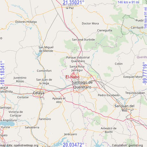
El Nabo GPS coordinates[2]
20° 41' 38.004" North, 100° 28' 49.008" West
| Map corner | latitude | longitude |
|---|---|---|
| Upper-left | 21.35021°, | -101.18341° |
| Center: | 20.69389°, | -100.48028° |
| Lower-right: | 20.03472°, | -99.77716° |
| Map W x H: | 146.3×146.3 km | = 90.9×90.9mi |
| max Lat: | 32.7° ⇑28.5% North |
| El Nabo: | 20.69389° |
| min Lat: | ⇓71.5% South 14.53588° |
| min Long | El Nabo | max Long |
| -117.105° | -100.48028° | -86.73105° |
| W 30.7%⇐ | ⇒69.3% E |
Elevation
Elevation of El Nabo is 1905 m = 6250 ft, and this is 651.3 m = 2137 ft above average elevation for this country.
| Max E: |
3497 m = 11473 ft | 31.1% |
| El Nabo | 1905 m 6250 ft | |
| Avg. | 1253.7 m = 4113 ft | |
Min E: |
-1 m = -3 ft | 68.9% |
See also: Mexico elevation on elevation.city.
Geographical zone
El Nabo is located in North Torrid zone (between Equator and Tropic of Cancer). Distance of this Northern Tropic circle is 305 km =189.5 mi to North.| Distance of | km | miles | from El Nabo |
|---|---|---|---|
| North Pole | 7706.1 | 4788.3 | to North |
| Arctic Circle | 5100.2 | 3169.1 | to North |
| Tropic Cancer | 305 | 189.5 | to North |
| Equator | 2300.9 | 1429.7 | to South |


Nearby cities:
15 places around El Nabo: (largest is in red/bold)
• Acequia Blanca
3.1 km =1.9 mi,  25°
25°
• Casa Blanca
6.9 km =4.3 mi,  338°
338°
• El Salitre
6.7 km =4.2 mi,  117°
117°
• El Zapote
7.4 km =4.6 mi,  230°
230°
• Jardines de Azucenas (La Floresta)
6.8 km =4.2 mi,  181°
181°
• Juriquilla
3.3 km =2.1 mi,  50°
50°
• Mompaní
2.8 km =1.7 mi,  265°
265°
• Patria Nueva
6.9 km =4.3 mi, 177°
• Praga
4.3 km =2.7 mi, 229°
• Rancho Largo
4.3 km =2.7 mi,  76°
76°
• San Francisco de la Palma
5.2 km =3.2 mi,  224°
224°
• San Miguelito
5.3 km =3.3 mi,  334°
334°
• Santa Rosa Jauregui
6.2 km =3.9 mi, 32°
• Tlacote el Alto
4.8 km =3 mi, 267°
• Tlacote el Bajo
4.6 km =2.9 mi, 218°
Sources, notices
• [Note1] Compared only with cities in Mexico existing in our database
• [Src1] Map data: © OpenStreetMap contributors (CC-BY-SA)
• [Src2] Other city data from geonames.org with taken over terms of usage.
• [Src3] Geographical zone / Annual Mean Temperature by Robert A. Rohde @ Wikipedia
